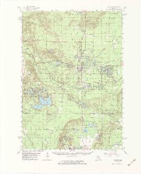
1959 Map of Baldwin
USGS Topo · Published 1979About this map
Baldwin serves as the central hub of this West Michigan landscape, situated at the intersection of the Chesapeake and Ohio railroad and several vital waterways. The map illustrates a region defined by its diverse aquatic geography, from the complex bends of the Pere Marquette River to the historic recreational community at Idlewild Lake. In this era, the area functioned as a blend of forest management and early tourism, evidenced by the presence of a Fish Hatchery and numerous campgrounds within the Manistee National Forest.
Find a feature on this map
117 named features on this map. Tap any name to fly to it.
Don’t see what you’re looking for? This feature index may not catch every label — zoom into the map to look around manually.
Map Details
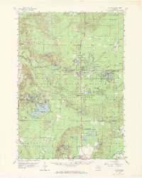
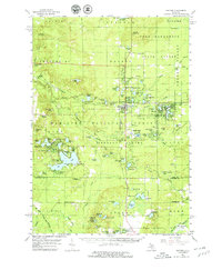
Editions of this 1959 Baldwin Map
4 editions found

Other maps of this area

1931 · Baldwin NW
USGS Topo · 1:31,680

1931 · Custer NE
USGS Topo · 1:31,680

1931 · Walkerville NE
USGS Topo · 1:31,680

1931 · Baldwin NE
USGS Topo · 1:31,680

1931 · Custer SE
USGS Topo · 1:31,680

1932 · Freesoil SE
USGS Topo · 1:31,680

1932 · Chase NW
USGS Topo · 1:31,680

1933 · Peacock SE
USGS Topo · 1:31,680

1933 · Peacock SW
USGS Topo · 1:31,680

1933 · Luther SW
USGS Topo · 1:31,680