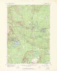
1959 Map of Baldwin
USGS Topo · Published 1971About this map
Baldwin serves as the central hub of this 1959 survey, situated at the junction of the Chesapeake and Ohio Railroad and a network of arterial roads. The village's role as a regional waypoint is clear, featuring the Baldwin Landing Field, a Fish Hatchery, and nearby leisure sites like the Drive-in Theater. Further east, the community of Idlewild is shown along the shores of Idlewild Lake, adjacent to Foreman Lakes. This era captures a landscape defined by its abundant water resources and recreational geography, from the vast Manistee National Forest to the numerous smaller bodies like Government Lake and Rattlesnake Lake.
Find a feature on this map
124 named features on this map. Tap any name to fly to it.
Don’t see what you’re looking for? This feature index may not catch every label — zoom into the map to look around manually.
Map Details
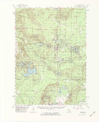
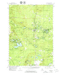
Editions of this 1959 Baldwin Map
4 editions found

Other maps of this area

1931 · Baldwin NW
USGS Topo · 1:31,680

1931 · Custer NE
USGS Topo · 1:31,680

1931 · Walkerville NE
USGS Topo · 1:31,680

1931 · Baldwin NE
USGS Topo · 1:31,680

1931 · Custer SE
USGS Topo · 1:31,680

1932 · Freesoil SE
USGS Topo · 1:31,680

1932 · Chase NW
USGS Topo · 1:31,680

1933 · Peacock SE
USGS Topo · 1:31,680

1933 · Peacock SW
USGS Topo · 1:31,680

1933 · Luther SW
USGS Topo · 1:31,680