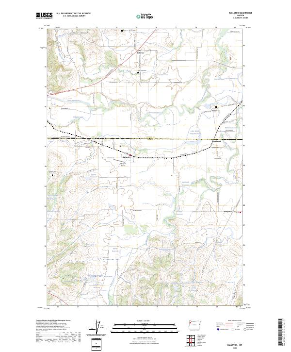
2023 Map of Ballston
USGS Topo · Published 2023About this map
The South Yamhill River meanders across this rural borderland between Yamhill and Polk counties, where the settlements of Bellevue and Ballston serve as longstanding agricultural anchors. The landscape is dotted with small-scale irrigation features like the Lillie Walker Irrigation Pond and numerous private reservoirs, including the Marvin Fast Reservoir and Neuschwanger Reservoir, reflecting the area's intensive land use. Cultural and genealogical significance is concentrated at sites like the Brigittine Monastery and its associated Brigittine Monastery Cem, as well as several pioneer burial grounds such as Pleasant Hill Pioneer Cem. Transportation history is evident in the layout of Morgan's Airport and the network of country roads like SW Ballston Rd that link the small communities of Broadmead and Perrydale. This contemporary survey preserves the names of family farms through landmarks like the Muller Reservoir and the Scharf Reservoir across the fertile valley floor.
Find a feature on this map
74 named features on this map. Tap any name to fly to it.
Don’t see what you’re looking for? This feature index may not catch every label — zoom into the map to look around manually.
Map Details
Editions of this 2023 Ballston Map
This is the sole edition of this map. No revisions or reprints were ever made.
Historical Maps of Yamhill County Through Time
17 maps found
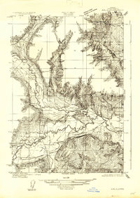
1922 Airlie
Polk County, OR

1942 Valsetz
Polk County, OR
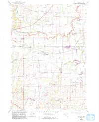
1956 Ballston
Polk County, OR
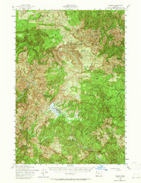
1956 Valsetz
Polk County, OR
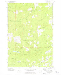
1973 Socialist Valley
Polk County, OR
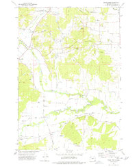
1974 Airlie North
Polk County, OR
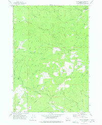
1974 Fanno Ridge
Polk County, OR
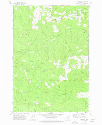
1974 Laurel Mtn
Polk County, OR
1974 Valsetz
Polk County, OR
1974 Warnicke Creek
Polk County, OR
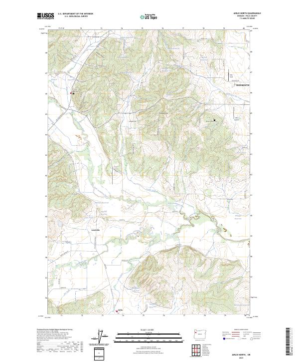
2023 Airlie North
Polk County, OR
2023 Ballston
Polk County, OR
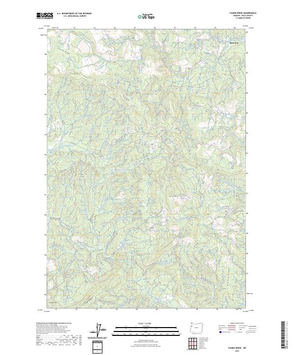
2023 Fanno Ridge
Polk County, OR
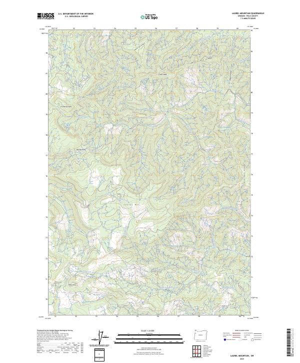
2023 Laurel Mountain
Polk County, OR
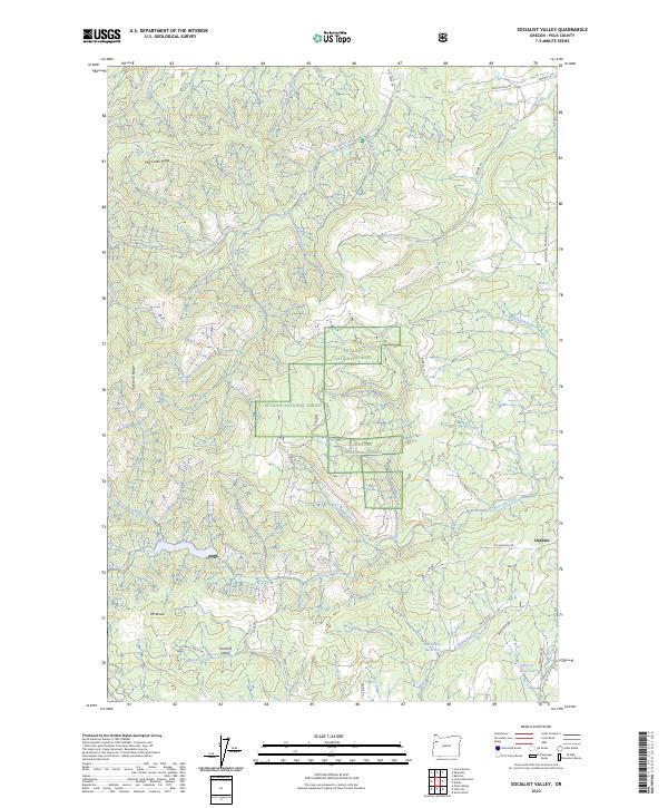
2023 Socialist Valley
Polk County, OR
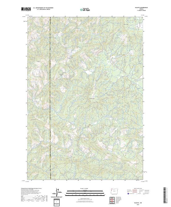
2023 Valsetz
Polk County, OR
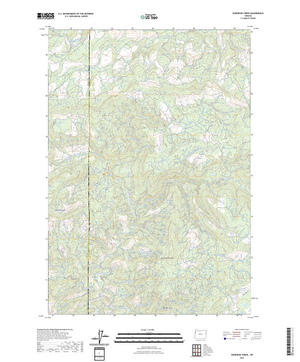
2023 Warnicke Creek
Polk County, OR