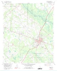
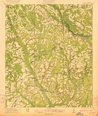
1979 Map of Bamberg
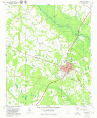
USGS Topo · Published 1992About this map
The town of Bamberg serves as the hub of this Lowcountry South Carolina landscape, shown here as it transitioned through the late 1970s. The settlement pattern is defined by the intersection of the Southern and Seaboard railroads, supporting a local economy of agriculture and early industry. Notable institutional landmarks include the Carlisle Military Sch and the County Courthouse, while the surrounding rural areas are dotted with community cornerstones like Zion Hill Cem and Springtown Ch.
Find a feature on this map
43 named features on this map. Tap any name to fly to it.
Don’t see what you’re looking for? This feature index may not catch every label — zoom into the map to look around manually.
Map Details
Editions of this 1979 Bamberg Map
2 editions found
Other maps of this area

1919 · Olar
USGS Topo · 1:62,500

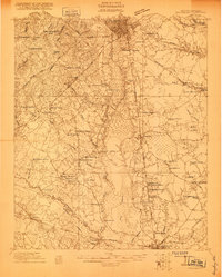
1919 · Bamberg
USGS Topo · 1:48,000

1919 · Lodge
USGS Topo · 1:62,500

1920 · Lodge
USGS Topo · 1:48,000

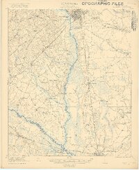
1920 · Bamberg
USGS Topo · 1:62,500
1920 · Orangeburg
USGS Topo · 1:48,000
1921 · Orangeburg
USGS Topo · 1:62,500
1921 · Lodge
USGS Topo · 1:62,500

1943 · Olar
USGS Topo · 1:62,500
1943 · Lodge
USGS Topo · 1:62,500