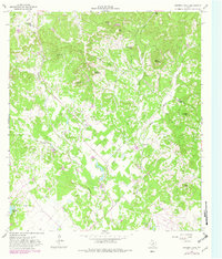
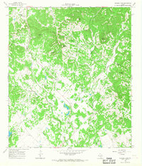
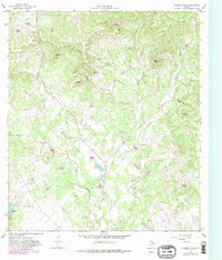
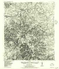
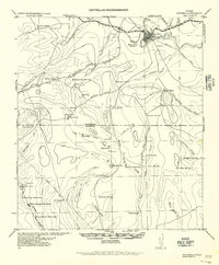
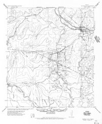
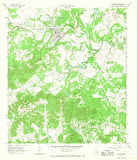
1964 Map of Bandera Pass
USGS Topo · Published 1982About this map
Bandera Pass serves as the focal point for this survey of the hill country straddling the Kerr and Bandera county line. The topography is defined by numerous isolated peaks and ridges, including the curiously named Nanny Trap Mtn, Sugarloaf Hill, and Sunset Mountain. This landscape, while primarily rural and dissected by drainages like Mason Creek and Bandera Creek, shows clear signs of mid-century development and private ranching interests.
Find a feature on this map
29 named features on this map. Tap any name to fly to it.
Don’t see what you’re looking for? This feature index may not catch every label — zoom into the map to look around manually.
Map Details
Editions of this 1964 Bandera Pass Map
Other maps of this area

1954 · San Antonio
USGS Topo · 1:250,000
1956 · Comfort
USGS Topo · 1:62,500
1956 · Bandera
USGS Topo · 1:62,500

1956 · Medina Lake
USGS Topo · 1:62,500
1956 · Center Point
USGS Topo · 1:62,500

1957 · San Antonio
USGS Topo · 1:250,000
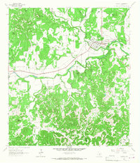
1964 · Comfort
USGS Topo · 1:24,000
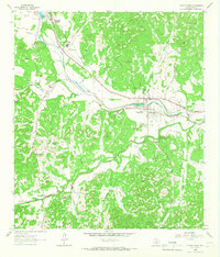
1964 · Center Point
USGS Topo · 1:24,000
1964 · Bandera
USGS Topo · 1:24,000
1964 · Rock Cliff Reservoir
USGS Topo · 1:24,000