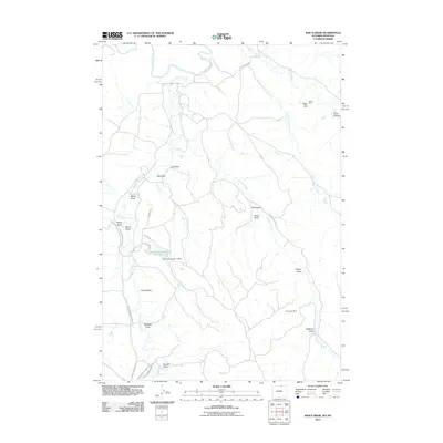
2011 Map of Bar N Draw
USGS Topo · Published 2011About this map
The Tongue River and Prairie Dog Creek define the drainage patterns of this Sheridan County landscape near the Montana border. Water management is a central theme of the geography, evidenced by the extensive path of Prairie Dog Ditch Number 13 and Prairie Dog Ditch Number 14, alongside the Gorman Reservoir Number 2 and its associated Gorman Number 2 Dam. The area's industrial footprint is marked by the Evans Badger Creek Mine in the north and the Carneyville Mine further south, illustrating the region's historical ties to resource extraction.
Find a feature on this map
31 named features on this map. Tap any name to fly to it.
Don’t see what you’re looking for? This feature index may not catch every label — zoom into the map to look around manually.
Map Details
Editions of this 2011 Bar N Draw Map
This is the sole edition of this map. No revisions or reprints were ever made.
Other maps of this area

1909 · Sheridan
USGS Topo · 1:125,000

1911 · Sheridan
USGS Topo · 1:125,000

1954 · Hardin
USGS Topo · 1:250,000

1955 · Sheridan
USGS Topo · 1:250,000

1957 · Hardin
USGS Topo · 1:250,000

1958 · Hardin
USGS Topo · 1:250,000

1958 · Sheridan
USGS Topo · 1:250,000

1962 · Sheridan
USGS Topo · 1:250,000

1967 · Holmes Ranch
USGS Topo · 1:24,000
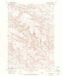
1967 · Pearl School
USGS Topo · 1:24,000