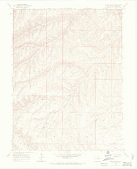
1966 Map of Barcus Creek
USGS Topo · Published 1969About this map
Pinto Mesa Windmill stands as a lonely landmark in this 1960s survey of Rio Blanco County, marking the sparse infrastructure of the high desert plateau. The landscape is defined by the intricate dendritic drainage systems of Barcus Creek and its many tributaries, including the North Fork, Middle Fork, and East Fork. These watercourses carve through the terrain, joined by Pinto Gulch and the North Fork Greasewood Creek. Evidence of resource exploration appears in the form of a Drill Hole located near the windmill, while the presence of several Jeep Trails indicates the limited network of travel through these canyons. The map captures a moment when the area was primarily used for grazing and early industrial surveying, before more modern developments altered the remote character of the northwestern Colorado frontier.
Find a feature on this map
14 named features on this map. Tap any name to fly to it.
Don’t see what you’re looking for? This feature index may not catch every label — zoom into the map to look around manually.
Map Details
Editions of this 1966 Barcus Creek Map
2 editions found
Other maps of this area

1907 · Rangely
USGS Topo · 1:125,000

1907 · White River
USGS Topo · 1:125,000

1910 · White River
USGS Topo · 1:125,000

1910 · Rangely
USGS Topo · 1:125,000

1952 · Wolf Ridge
USGS Topo · 1:24,000

1952 · Square S Ranch
USGS Topo · 1:24,000

1954 · Vernal
USGS Topo · 1:250,000

1956 · Grand Junction
USGS Topo · 1:250,000

1958 · Vernal
USGS Topo · 1:250,000

1959 · Grand Junction
USGS Topo · 1:250,000