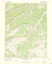
1966 Map of Barcus Creek
USGS Topo · Published 1969About this map
The complex drainages of Barcus Creek and the North Fork Greasewood Creek dominate this Rio Blanco County landscape, where deep erosional patterns define the topography. In the mid-1960s, this area of Colorado remained largely characterized by sparse ranching and energy exploration infrastructure rather than formal settlements. The high elevation of Pinto Mesa is marked by a single Pinto Mesa Windmill, a vital water source in this arid environment, while scattered Drill Holes suggest the early industrial footprint of oil or gas exploration in the region.
Find a feature on this map
11 named features on this map. Tap any name to fly to it.
Don’t see what you’re looking for? This feature index may not catch every label — zoom into the map to look around manually.
Map Details
Editions of this 1966 Barcus Creek Map
2 editions found
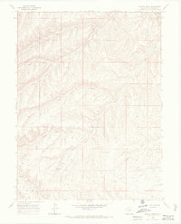
Other maps of this area

1907 · Rangely
USGS Topo · 1:125,000

1907 · White River
USGS Topo · 1:125,000

1910 · White River
USGS Topo · 1:125,000

1910 · Rangely
USGS Topo · 1:125,000

1952 · Wolf Ridge
USGS Topo · 1:24,000

1952 · Square S Ranch
USGS Topo · 1:24,000

1954 · Vernal
USGS Topo · 1:250,000

1956 · Grand Junction
USGS Topo · 1:250,000

1958 · Vernal
USGS Topo · 1:250,000

1959 · Grand Junction
USGS Topo · 1:250,000