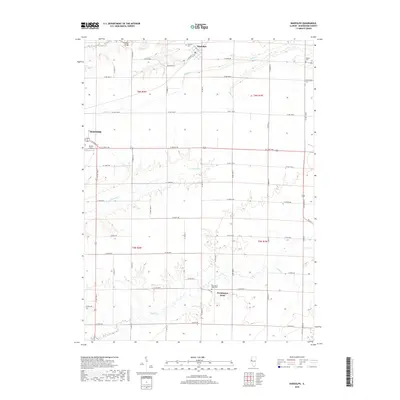
2018 Map of Bardolph
USGS Topo · Published 2018About this map
The agricultural landscape of eastern McDonough County is defined by the headwaters of several prominent drainage systems, including Kepple Cr in the north and the winding path of Troublesome Cr through the center of the township. Centered on the village of Bardolph, the map illustrates a highly organized grid of rural routes like Maryland Rd and N 1200th Rd that segment the productive prairie. This 2018 survey captures the interface between these expansive fields and the growing eastern edge of Macomb, where the Blythe Airport sits near the junction of E Jackson St. Local history is anchored by several rural burial grounds, including Bardolph Cem and the isolated Pennington Point Cem near the southern settlement of Pennington Point. The crossing at Holler Bridge further marks the area's historical reliance on local creek crossings for farm-to-market travel.
Find a feature on this map
53 named features on this map. Tap any name to fly to it.
Don’t see what you’re looking for? This feature index may not catch every label — zoom into the map to look around manually.
Map Details
Editions of this 2018 Bardolph Map
This is the sole edition of this map. No revisions or reprints were ever made.
Other maps of this area

1912 · Macomb
USGS Topo · 1:62,500

1914 · Macomb
USGS Topo · 1:62,500

1915 · Avon
USGS Topo · 1:62,500

1916 · Good Hope
USGS Topo · 1:62,500

1918 · Vermont
USGS Topo · 1:62,500

1918 · Good Hope
USGS Topo · 1:62,500

1921 · Vermont
USGS Topo · 1:62,500

1944 · Avon
USGS Topo · 1:62,500

1947 · Vermont
USGS Topo · 1:24,000

1947 · Adair
USGS Topo · 1:24,000