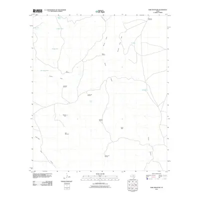
2010 Map of Bare Mountain
USGS Topo · Published 2010About this map
Bare Mountain stands as a central landmark in this West Texas ranching landscape, where survival depends entirely on the scattered network of water improvements. The map documents a sophisticated system of windmills and stock tanks essential for high-desert livestock operations, including Mescalero Windmills in the north and Sheep Camp Windmill to the south. These artificial water sources are positioned relative to the natural drainage patterns of Bunton Draw and Jones Draw.
Find a feature on this map
24 named features on this map. Tap any name to fly to it.
Don’t see what you’re looking for? This feature index may not catch every label — zoom into the map to look around manually.
Map Details
Editions of this 2010 Bare Mountain Map
This is the sole edition of this map. No revisions or reprints were ever made.
Other maps of this area

1894 · Valentine
USGS Topo · 1:125,000

1897 · Valentine
USGS Topo · 1:125,000

1943 · Valentine
USGS Topo · 1:125,000

1959 · Marfa
USGS Topo · 1:250,000

1965 · Marfa
USGS Topo · 1:250,000
1978 · Bare Mountain
USGS Topo · 1:24,000
1978 · Herds Pass
USGS Topo · 1:24,000
1978 · Boggy Draw
USGS Topo · 1:24,000
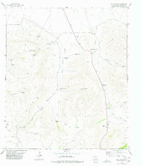
1978 · Echo Canyon
USGS Topo · 1:24,000
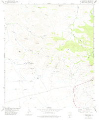
1978 · El Muerto Peak
USGS Topo · 1:24,000