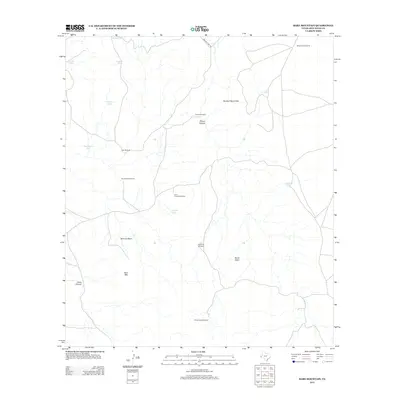
2012 Map of Bare Mountain
USGS Topo · Published 2012About this map
Bare Mtn rises above a high-desert landscape defined by vital water resources and cattle ranching infrastructure in the early 21st century. The map details a network of essential water features, from natural sources like Twiford Spring to numerous man-made catchments including Selman Tank, Dickes Tank, and Landrein Tank. This reliance on specialized water infrastructure is further evidenced by a series of named windmills—such as Mescalero Windmills, Screwbean Windmill, and Sheep Camp Windmill—which are critical for sustaining life in this arid corner of West Texas.
Find a feature on this map
22 named features on this map. Tap any name to fly to it.
Don’t see what you’re looking for? This feature index may not catch every label — zoom into the map to look around manually.
Map Details
Editions of this 2012 Bare Mountain Map
This is the sole edition of this map. No revisions or reprints were ever made.
Other maps of this area

1894 · Valentine
USGS Topo · 1:125,000

1897 · Valentine
USGS Topo · 1:125,000

1943 · Valentine
USGS Topo · 1:125,000

1959 · Marfa
USGS Topo · 1:250,000

1965 · Marfa
USGS Topo · 1:250,000
1978 · Bare Mountain
USGS Topo · 1:24,000
1978 · Herds Pass
USGS Topo · 1:24,000
1978 · Boggy Draw
USGS Topo · 1:24,000
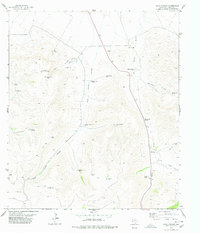
1978 · Echo Canyon
USGS Topo · 1:24,000
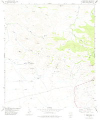
1978 · El Muerto Peak
USGS Topo · 1:24,000