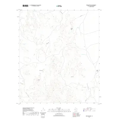
2019 Map of Bare Mountain
USGS Topo · Published 2019About this map
Bare Mtn anchors this arid West Texas landscape, where the management of water is the primary footprint of human activity. A network of ranching infrastructure is visible through numerous catchment features, including Selman Tank, Dickes Tank, and Dam Fence Tank, alongside the critical water source at Twiford Spring. These water points support the vast rangelands surrounding the Rockpile Ranch Airport in the eastern portion of the sheet. The terrain is defined by deep cuts and elevated formations such as Buzzard Roost Hills, Jones Canyon, and Sams Butte. Movement through this high-desert environment follows established paths like Mescalero Rd and Broken Tank Rd, which traverse the broad Babcock Basin and navigate the drainage patterns of Bunton Draw.
Find a feature on this map
20 named features on this map. Tap any name to fly to it.
Don’t see what you’re looking for? This feature index may not catch every label — zoom into the map to look around manually.
Map Details
Editions of this 2019 Bare Mountain Map
This is the sole edition of this map. No revisions or reprints were ever made.
Other maps of this area

1894 · Valentine
USGS Topo · 1:125,000

1897 · Valentine
USGS Topo · 1:125,000

1943 · Valentine
USGS Topo · 1:125,000

1959 · Marfa
USGS Topo · 1:250,000

1965 · Marfa
USGS Topo · 1:250,000
1978 · Bare Mountain
USGS Topo · 1:24,000
1978 · Herds Pass
USGS Topo · 1:24,000
1978 · Boggy Draw
USGS Topo · 1:24,000
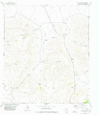
1978 · Echo Canyon
USGS Topo · 1:24,000
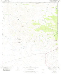
1978 · El Muerto Peak
USGS Topo · 1:24,000