
1904 Map of Barnesboro
USGS Topo · Published 1904About this map
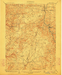
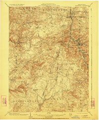
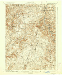
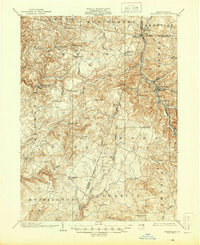
The West Branch Susquehanna River cuts through the high plateaus of northern Cambria and Indiana counties, serving as the primary corridor for the Pennsylvania RR and its Cherry Tree and Dixonville Division. This early-century landscape is defined by its industrial reliance on the river and rail, with burgeoning mining and rail hubs like Barnesboro and Spangler emerging along the banks. Further west, the terrain transitions to a network of agricultural and milling settlements such as Mitchells Mills, Diamondville, and Cookport, connected by winding roads through the various branches of Yellow Creek and Two Lick Creek. For those tracing family roots in central Pennsylvania, the map reveals numerous small crossroads and family-named features like Kellers Mill, Germans Mills, and Purchase Line, documenting the region's development before the full maturation of its coal and timber industries.
Find a feature on this map
81 named features on this map. Tap any name to fly to it.
Don’t see what you’re looking for? This feature index may not catch every label — zoom into the map to look around manually.
Map Details
Editions of this 1904 Barnesboro Map
5 editions found
Other maps of this area

1902 · Indiana
USGS Topo · 1:62,500

1902 · Ebensburg
USGS Topo · 1:62,500

1902 · Patton
USGS Topo · 1:62,500

1902 · Barnesboro
USGS Topo · 1:62,500

1903 · Curwensville
USGS Topo · 1:62,500

1904 · Patton
USGS Topo · 1:62,500

1904 · Ebensburg
USGS Topo · 1:62,500

1904 · Johnstown
USGS Topo · 1:62,500

1906 · Punxsutawney
USGS Topo · 1:62,500

1907 · Johnstown
USGS Topo · 1:62,500
Featured Places
- Northern Cambria, PA
- Rayne Township, PA
- Brush Valley Township, PA
- Cherry Tree, PA
- East Carroll Township, PA