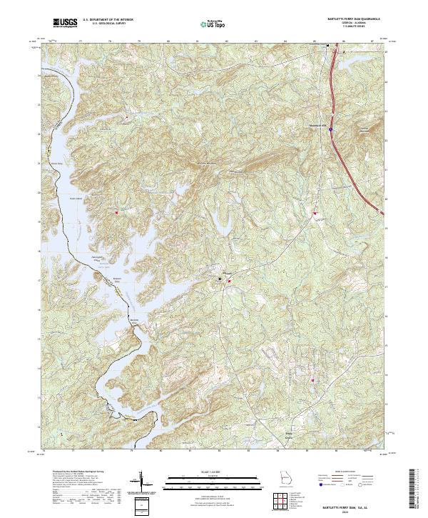
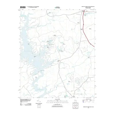
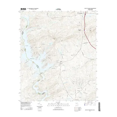
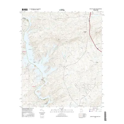
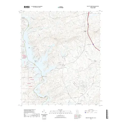
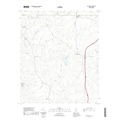
2024 Map of Bartletts Ferry Dam
USGS Topo · Published 2024About this map
The Chattahoochee River carves a deep boundary between Alabama and Georgia, defining the life and movement of this border region. Historically, river crossings were vital to local commerce and travel, evidenced by the series of former crossing points like Blanton Ferry, Dixon Ferry, and Brawner Ferry. The landscape is dominated by the waters of Bartletts Ferry Lake and several smaller impoundments, including Middle Huston Lake and South Huston Lake. To the east, the terrain rises into the distinctive ridges of Pine Mountain and Williams Mountain.
Find a feature on this map
92 named features on this map. Tap any name to fly to it.
Don’t see what you’re looking for? This feature index may not catch every label — zoom into the map to look around manually.
Map Details
Editions of this 2024 Bartletts Ferry Dam Map
This is the sole edition of this map. No revisions or reprints were ever made.
Historical Maps of Mountain Hill Through Time
25 maps found
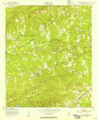
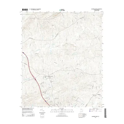
1950 Mulberry Grove
Harris County, GA
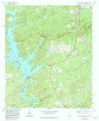
1955 Mulberry Grove
Harris County, GA
1964 Pine Mountain SW
Harris County, GA
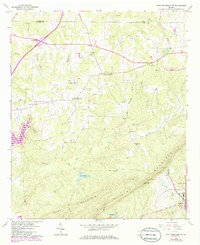
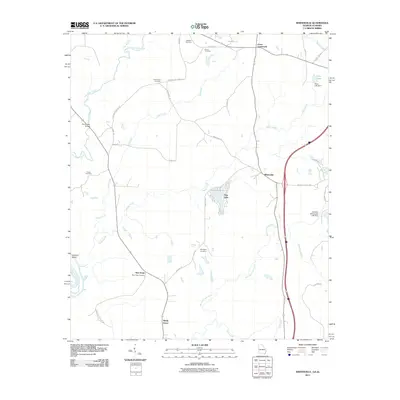
1964 Whitesville
Harris County, GA
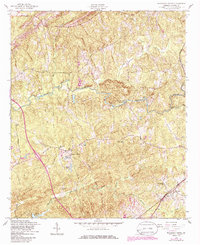
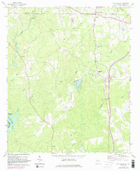
1965 Bartletts Ferry Dam
Harris County, GA
2011 Bartletts Ferry Dam
Harris County, GA
2011 Mulberry Grove
Harris County, GA
2011 Pine Mountain SW
Harris County, GA
2011 Whitesville
Harris County, GA
2014 Bartletts Ferry Dam
Harris County, GA
2014 Mulberry Grove
Harris County, GA
2014 Pine Mountain SW
Harris County, GA
2014 Whitesville
Harris County, GA
2017 Bartletts Ferry Dam
Harris County, GA

2017 Mulberry Grove
Harris County, GA
2017 Pine Mountain SW
Harris County, GA
2017 Whitesville
Harris County, GA
2020 Bartletts Ferry Dam
Harris County, GA
2020 Mulberry Grove
Harris County, GA
2020 Pine Mountain SW
Harris County, GA
2020 Whitesville
Harris County, GA
2024 Bartletts Ferry Dam
Harris County, GA
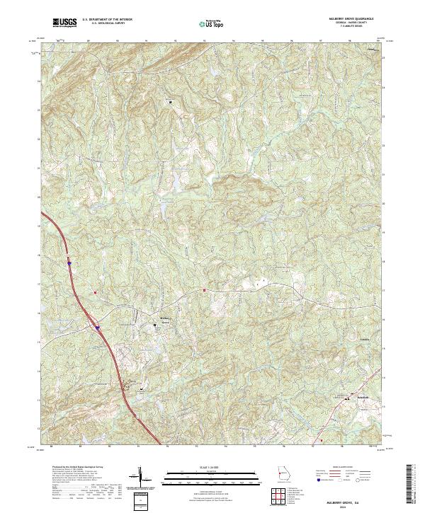
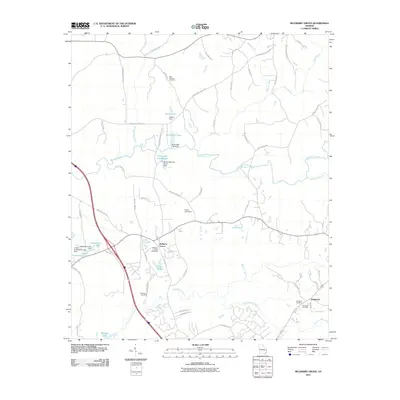
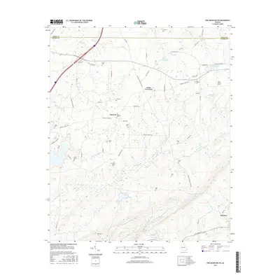
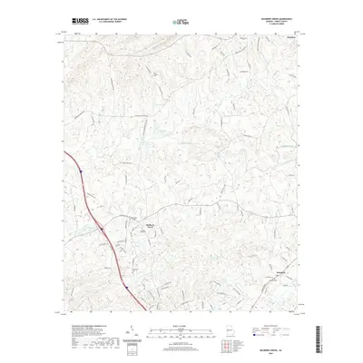
2024 Mulberry Grove
Harris County, GA
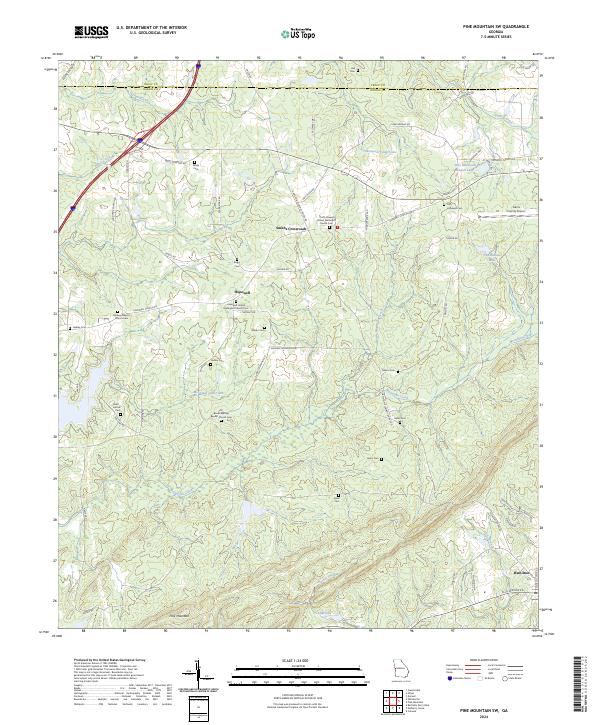
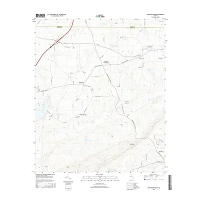
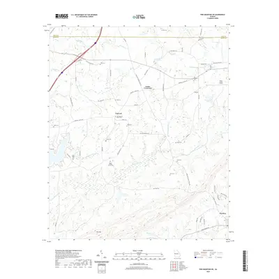
2024 Pine Mountain SW
Harris County, GA
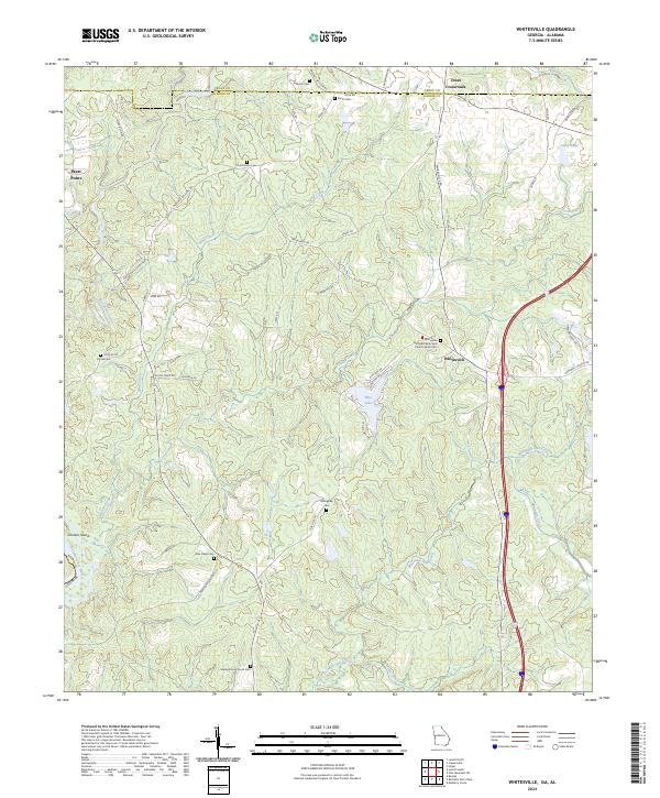
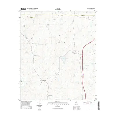
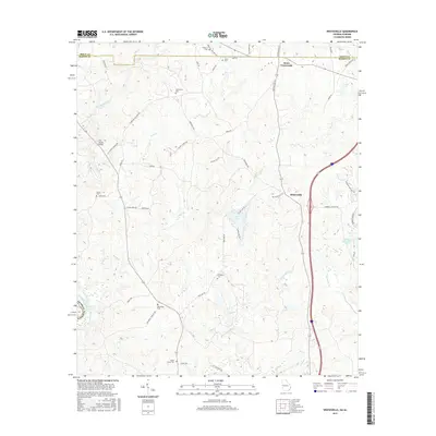
2024 Whitesville
Harris County, GA