2021 Map of Bartley
USGS Topo · Published 2021About this map
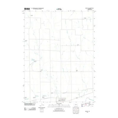
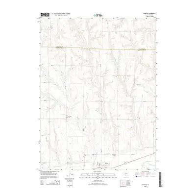
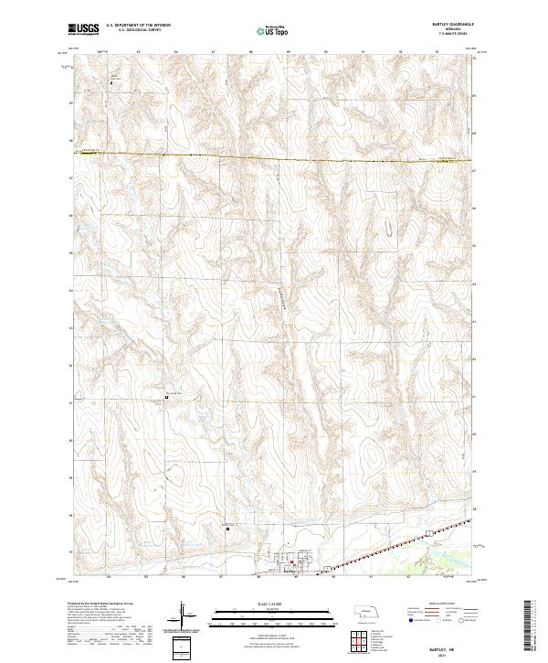
Bartley is the primary settlement on this Nebraska high plains landscape, situated near the southern edge of the map along the Republican River. The area’s agricultural foundations are evident in the complex water management system, which includes the Red Willow Canal and a series of flood control structures such as Dry Cr Reservoir 8-A and Dry Cr Dam 8-C. The terrain transitions from the river valley into a dissected upland marked by Stevenson Canyon and the drainages of Wildcat Cr and Richmond Cr. For genealogists, the map identifies three distinct burial grounds: Bartley Cem, Dry Creek Cem, and Mount Zion Cem to the north. These sites, combined with the grid of local roads like 727 RD, provide essential landmarks for tracing family landholdings and historical rural communities in this part of Red Willow and Frontier Counties.
Find a feature on this map
30 named features on this map. Tap any name to fly to it.
Don’t see what you’re looking for? This feature index may not catch every label — zoom into the map to look around manually.
Map Details
Editions of this 2021 Bartley Map
This is the sole edition of this map. No revisions or reprints were ever made.
Historical Maps of Bartley Through Time
5 maps found