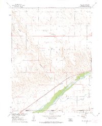
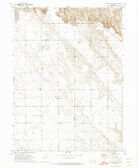
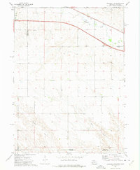
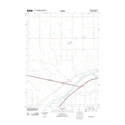
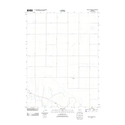
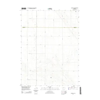
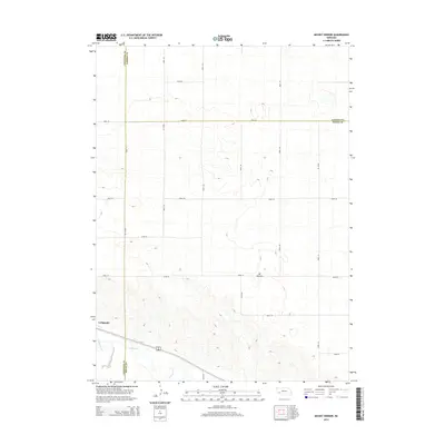
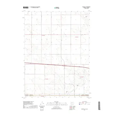
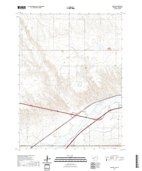
1961 Map of Barton
USGS Topo · Published 1963About this map
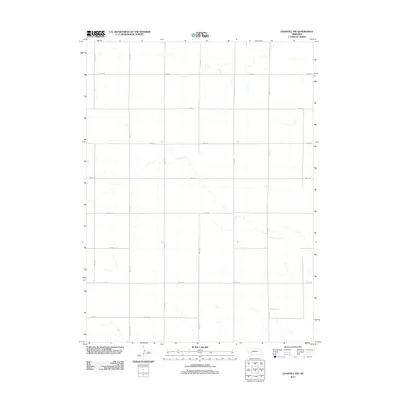
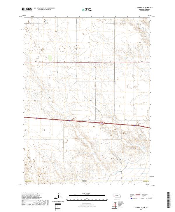
The South Platte River and the high-speed corridor of the Union Pacific railroad define the landscape of this border region in the early 1960s. Located at the edge of Deuel County, Nebraska, and Sedgwick County, Colorado, the small settlement of Barton sits on the northern bank of the river, anchored by a benchmark and proximity to the rail line. The map captures a transition between the irrigated valley floor, where the Western Canal and State Line Ditch distribute water, and the arid uplands to the north.
Find a feature on this map
17 named features on this map. Tap any name to fly to it.
Don’t see what you’re looking for? This feature index may not catch every label — zoom into the map to look around manually.
Map Details
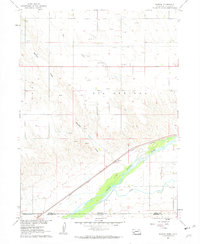
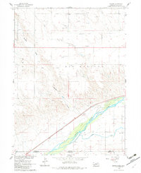
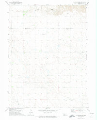
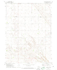
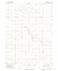
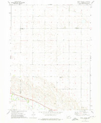
Editions of this 1961 Barton Map
3 editions found
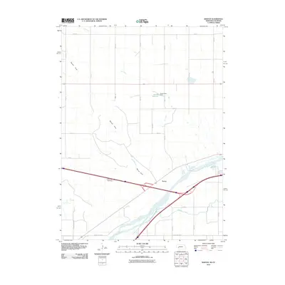
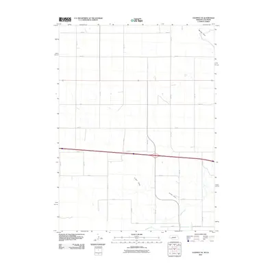
Historical Maps of Barton Through Time
43 maps found
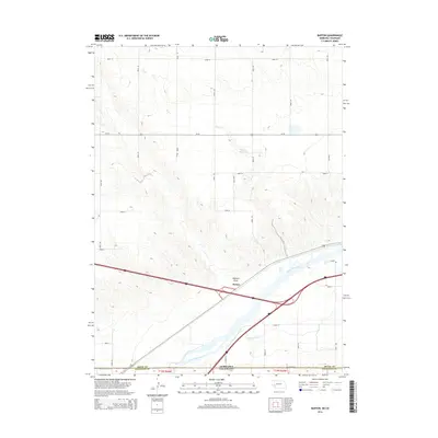
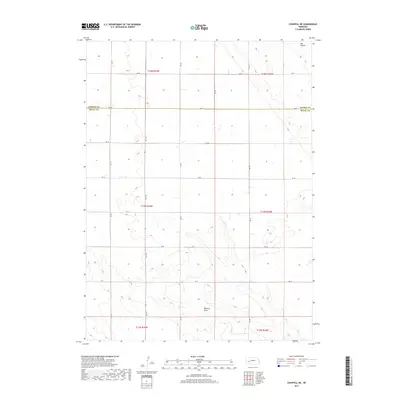
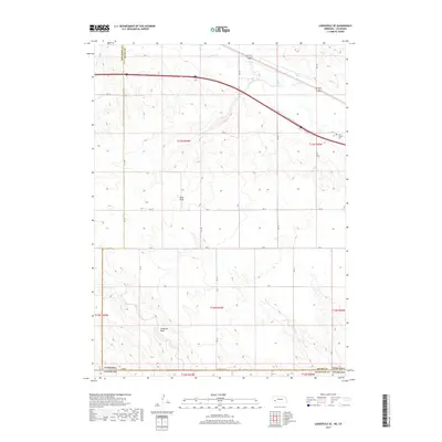
1961 Barton
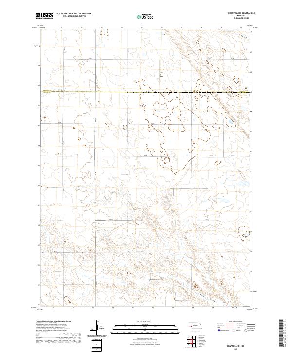
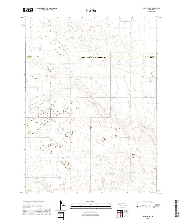
Deuel County, NE
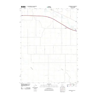
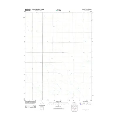
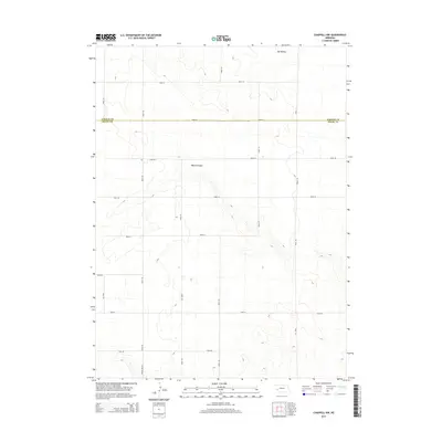
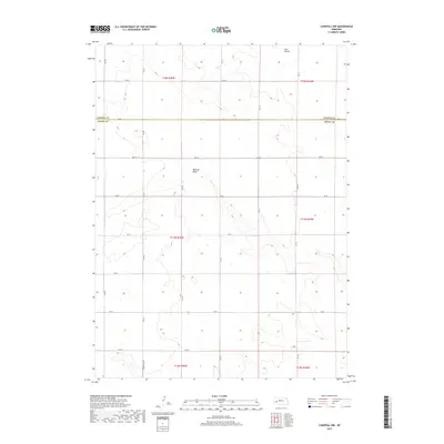
1961 Chappell SE
Deuel County, NE
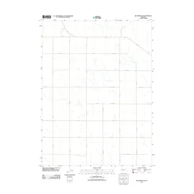
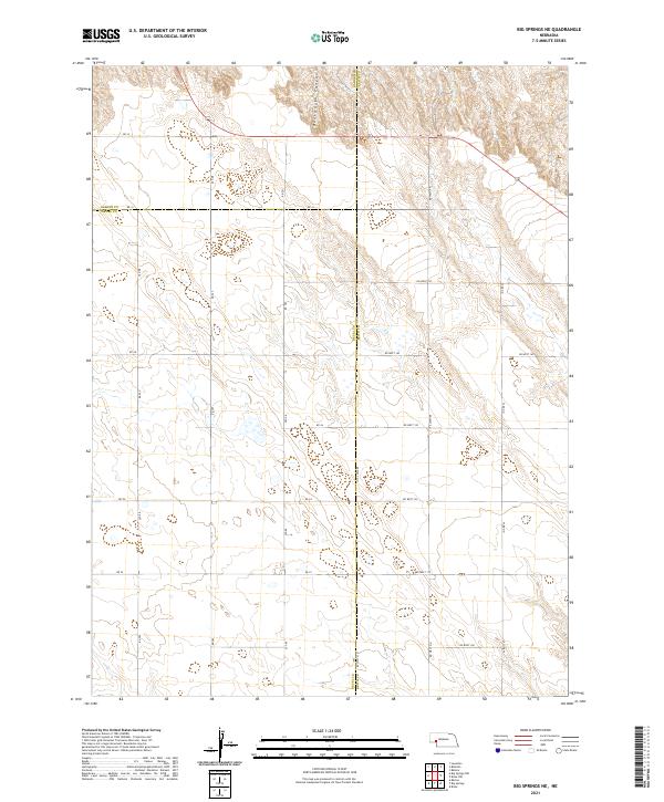
1971 Big Springs NE
Deuel County, NE
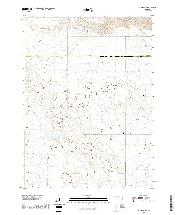
1971 Big Springs NW
Deuel County, NE
1971 Chappell NE
Deuel County, NE
1971 Chappell NW
Deuel County, NE
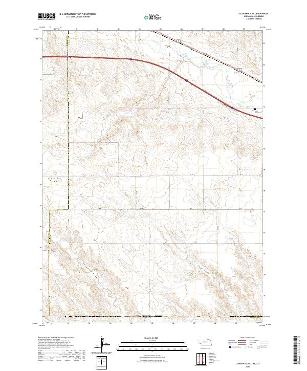
1972 Lodgepole SE
Deuel County, NE
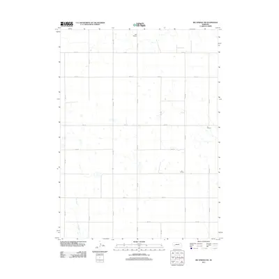
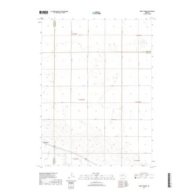
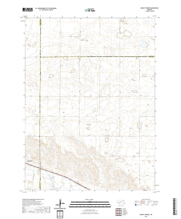
1972 Mount Vernon
Deuel County, NE
2010 Barton
Deuel County, NE
2010 Chappell SE
Deuel County, NE
2010 Lodgepole SE
Deuel County, NE
2011 Barton
Deuel County, NE
2011 Big Springs NE
Deuel County, NE
2011 Big Springs NW
Deuel County, NE
2011 Chappell NE
Deuel County, NE
2011 Chappell NW
Deuel County, NE
2011 Chappell SE
Deuel County, NE
2011 Lodgepole SE
Deuel County, NE
2011 Mount Vernon
Deuel County, NE
2014 Barton
Deuel County, NE
2014 Big Springs NE
Deuel County, NE
2014 Big Springs NW
Deuel County, NE
2014 Chappell NE
Deuel County, NE
2014 Chappell NW
Deuel County, NE
2014 Chappell SE
Deuel County, NE
2014 Lodgepole SE
Deuel County, NE
2014 Mount Vernon
Deuel County, NE
2017 Barton
Deuel County, NE
2017 Big Springs NE
Deuel County, NE
2017 Big Springs NW
Deuel County, NE
2017 Chappell NE
Deuel County, NE
2017 Chappell NW
Deuel County, NE
2017 Chappell SE
Deuel County, NE
2017 Lodgepole SE
Deuel County, NE
2017 Mount Vernon
Deuel County, NE
2021 Barton
Deuel County, NE
2021 Big Springs NE
Deuel County, NE
2021 Big Springs NW
Deuel County, NE
2021 Chappell NE
Deuel County, NE
2021 Chappell NW
Deuel County, NE
2021 Chappell SE
Deuel County, NE
2021 Lodgepole SE
Deuel County, NE
2021 Mount Vernon
Deuel County, NE