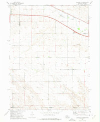
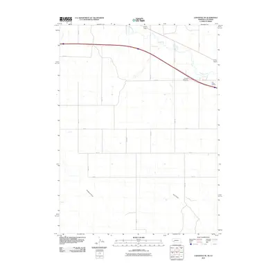
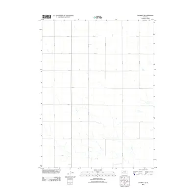
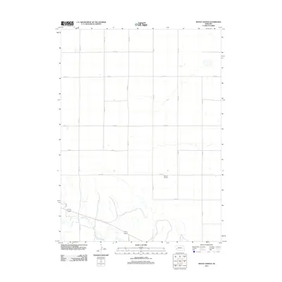
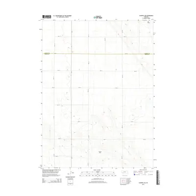
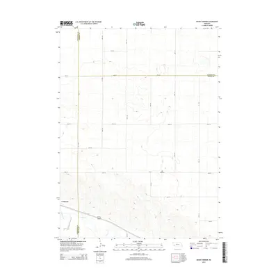
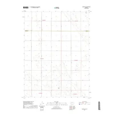
1961 Map of Barton
USGS Topo · Published 1982About this map
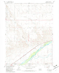
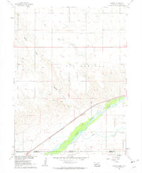
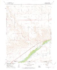
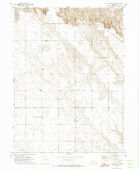
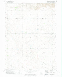
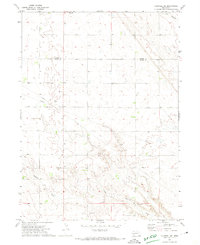
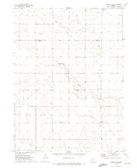
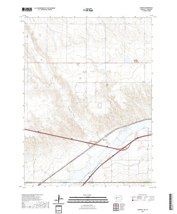
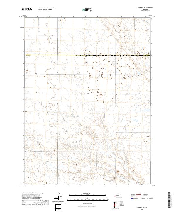
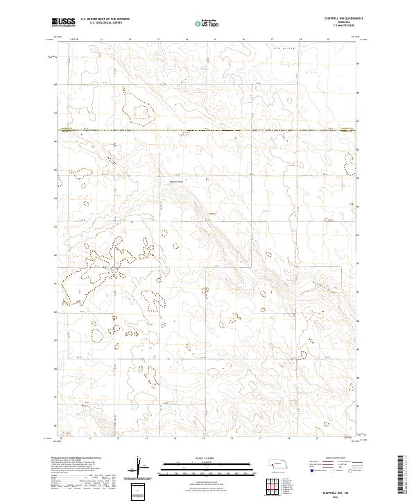
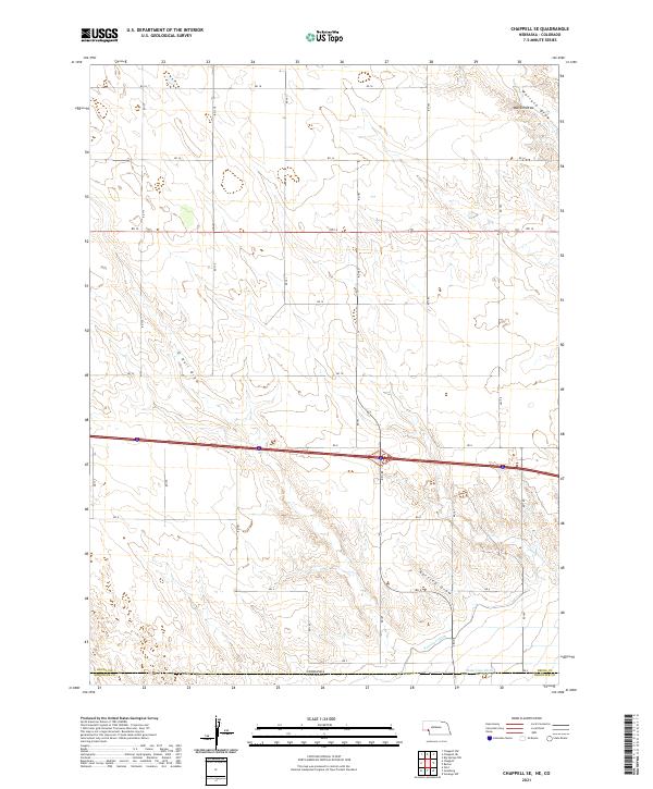
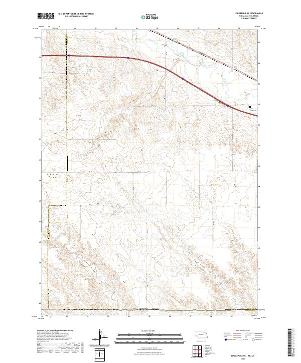
The South Platte River carves through the landscape along the Nebraska and Colorado state line, defining a corridor dominated by irrigation and rail infrastructure. In the early 1960s, the Union Pacific railroad tracked closely with the river's path, serving the small community of Barton. The transition from the river valley to the uplands is marked by a network of ephemeral watercourses like Walrath Draw and Dry Creek, which cut through the high plains. Education in this rural landscape is anchored by the Plainview Sch and Longview Sch, positioned to serve the outlying farmsteads. The importance of water management in this arid region is evident through features like the Western Canal and State Line Ditch, which divert river water to sustain the local agriculture. Numerous Gas Wells also dot the northern portion of the quadrangle, indicating a diversified land use that combines ranching with energy extraction.
Find a feature on this map
16 named features on this map. Tap any name to fly to it.
Don’t see what you’re looking for? This feature index may not catch every label — zoom into the map to look around manually.
Map Details
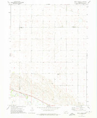
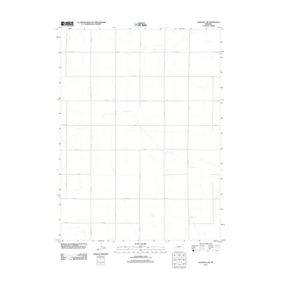
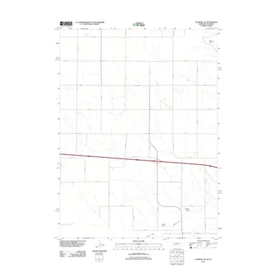
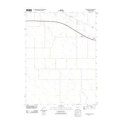
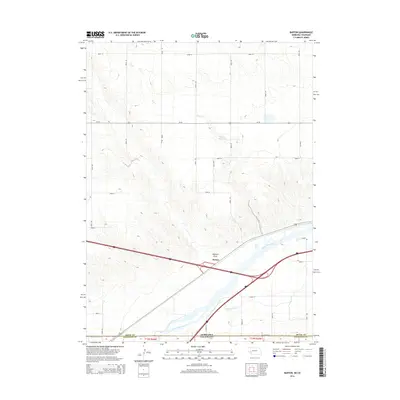
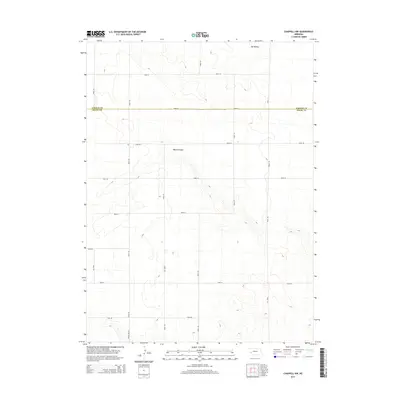
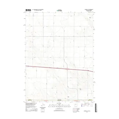
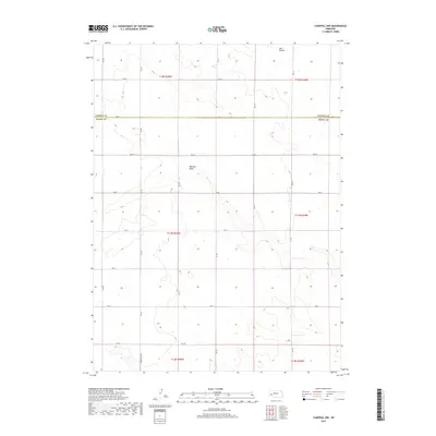
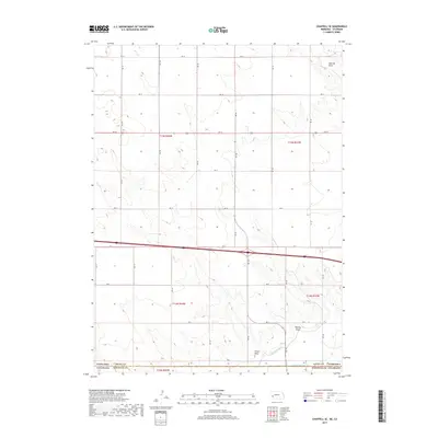
Editions of this 1961 Barton Map
3 editions found
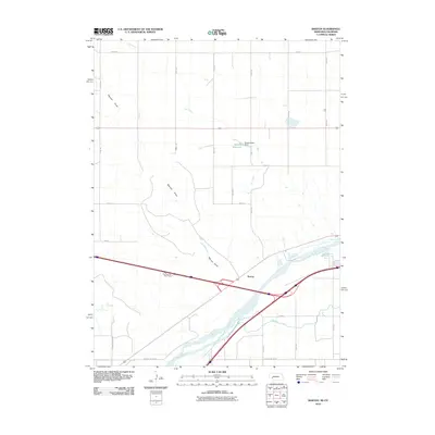
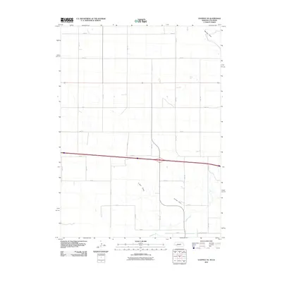
Historical Maps of Barton Through Time
43 maps found
1961 Barton
Deuel County, NE
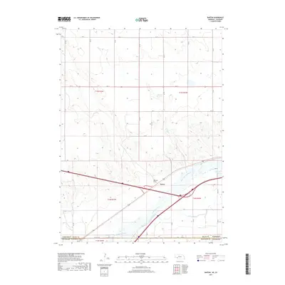
1961 Chappell SE
Deuel County, NE
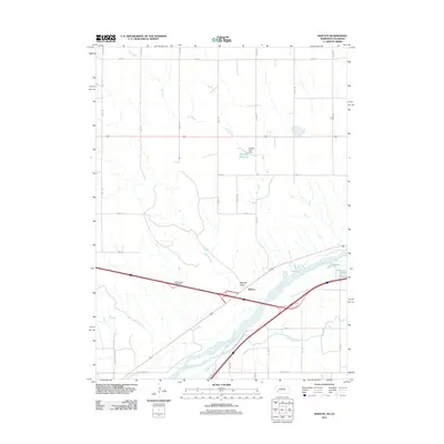
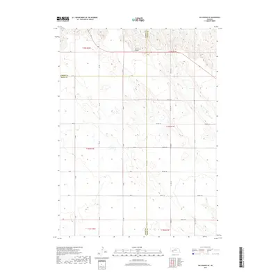
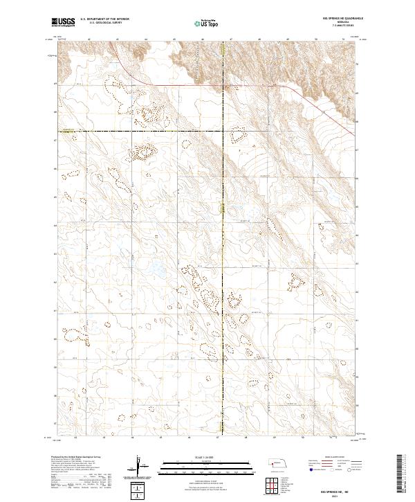
1971 Big Springs NE
Deuel County, NE
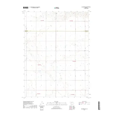
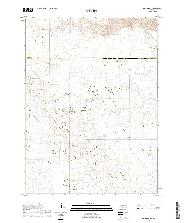
1971 Big Springs NW
Deuel County, NE
1971 Chappell NE
Deuel County, NE
1971 Chappell NW
Deuel County, NE
1972 Lodgepole SE
Deuel County, NE
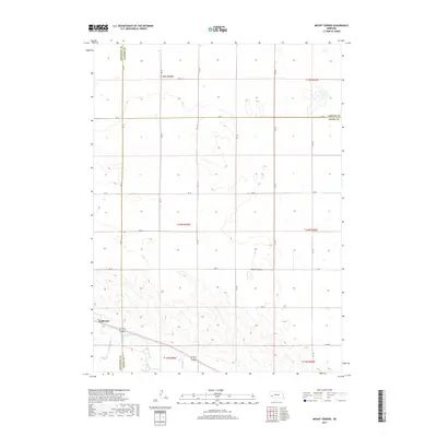
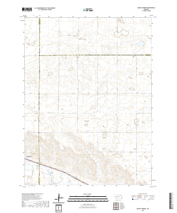
1972 Mount Vernon
Deuel County, NE
2010 Barton
Deuel County, NE
2010 Chappell SE
Deuel County, NE
2010 Lodgepole SE
Deuel County, NE
2011 Barton
Deuel County, NE
2011 Big Springs NE
Deuel County, NE
2011 Big Springs NW
Deuel County, NE
2011 Chappell NE
Deuel County, NE
2011 Chappell NW
Deuel County, NE
2011 Chappell SE
Deuel County, NE
2011 Lodgepole SE
Deuel County, NE
2011 Mount Vernon
Deuel County, NE
2014 Barton
Deuel County, NE
2014 Big Springs NE
Deuel County, NE
2014 Big Springs NW
Deuel County, NE
2014 Chappell NE
Deuel County, NE
2014 Chappell NW
Deuel County, NE
2014 Chappell SE
Deuel County, NE
2014 Lodgepole SE
Deuel County, NE
2014 Mount Vernon
Deuel County, NE
2017 Barton
Deuel County, NE
2017 Big Springs NE
Deuel County, NE
2017 Big Springs NW
Deuel County, NE
2017 Chappell NE
Deuel County, NE
2017 Chappell NW
Deuel County, NE
2017 Chappell SE
Deuel County, NE
2017 Lodgepole SE
Deuel County, NE
2017 Mount Vernon
Deuel County, NE
2021 Barton
Deuel County, NE
2021 Big Springs NE
Deuel County, NE
2021 Big Springs NW
Deuel County, NE
2021 Chappell NE
Deuel County, NE
2021 Chappell NW
Deuel County, NE
2021 Chappell SE
Deuel County, NE
2021 Lodgepole SE
Deuel County, NE
2021 Mount Vernon
Deuel County, NE