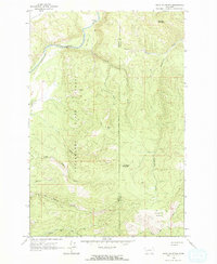
1965 Map of Bata Mountain
USGS Topo · Published 1967About this map
The Clearwater State Forest encompasses much of this mid-1960s terrain along the boundary of Missoula and Powell Counties. Steep forested ridges and mountain peaks like Bata Mtn and Lost Horse Mountain define the topography, while the Blackfoot River cuts through the northern portion of the sheet. Evidence of early resource extraction is visible in the southwestern corner, where a Mine and Prospect sit near North Fork Elk Creek.
Find a feature on this map
24 named features on this map. Tap any name to fly to it.
Don’t see what you’re looking for? This feature index may not catch every label — zoom into the map to look around manually.
Map Details
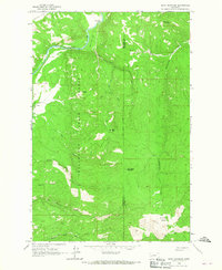
Editions of this 1965 Bata Mountain Map
2 editions found
Other maps of this area

1902 · Ovando
USGS Topo · 1:125,000

1905 · Ovando
USGS Topo · 1:125,000

1919 · Drummond
USGS Topo · 1:125,000

1921 · Drummond
USGS Topo · 1:125,000

1947 · Butte
USGS Topo · 1:250,000

1955 · Choteau
USGS Topo · 1:250,000

1957 · Choteau
USGS Topo · 1:250,000

1958 · Butte
USGS Topo · 1:250,000

1958 · Choteau
USGS Topo · 1:250,000

1960 · Butte
USGS Topo · 1:250,000