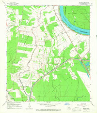
1965 Map of Batchelor
USGS Topo · Published 1966About this map
Raccourci Old River and the sweeping curve of the Morganza Floodway dominate this mid-century landscape in Pointe Coupee Parish. The terrain is a complex network of waterways, where Latenache Bayou, Robertson Bayou, and Clay Bayou drain the alluvial lands east of the Mississippi. Small rural communities like Quinton and New California are connected by a system of roads and the Texas and Pacific railroad, which passes through Batchelor and Lacour Spur.
Find a feature on this map
45 named features on this map. Tap any name to fly to it.
Don’t see what you’re looking for? This feature index may not catch every label — zoom into the map to look around manually.
Map Details
Editions of this 1965 Batchelor Map
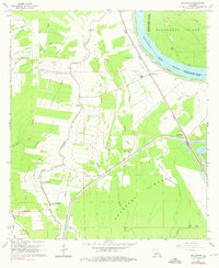
2 editions found
Other maps of this area

1939 · Fordoche
USGS Topo · 1:62,500

1941 · Batchelor
USGS Topo · 1:62,500

1954 · Baton Rouge
USGS Topo · 1:250,000

1955 · Fordoche
USGS Topo · 1:62,500

1955 · Batchelor
USGS Topo · 1:62,500

1955 · Odenburg
USGS Topo · 1:62,500

1956 · Baton Rouge
USGS Topo · 1:250,000

1959 · Fordoche
USGS Topo · 1:62,500

1959 · Palmetto
USGS Topo · 1:62,500

1961 · Baton Rouge
USGS Topo · 1:250,000