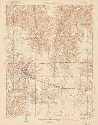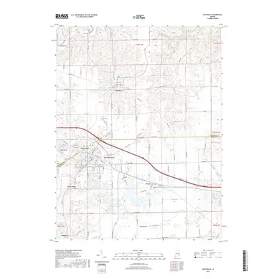
1961 Map of Batesville
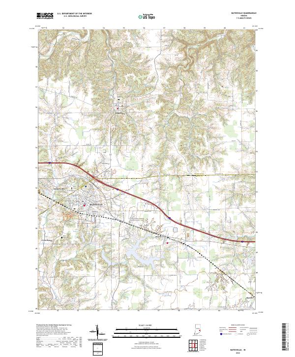
USGS Topo · Published 1963About this map
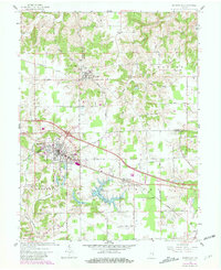
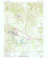
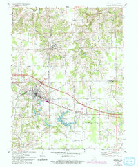
The town of Oldenburg stands as a focal point in the northern reach of this survey, featuring the Holy Family Ch and the Sorrowful Mother Shrine as prominent landmarks. To the south, the expansion of Batesville is evident, centered around the New York Central railroad corridor and bounded by local water features like Liberty Park Reservoir and the Feller Res. The landscape transitions from the developed grids of Huntersville and Morris into the rolling drainage basins of Laughery Creek and its various tributaries. Water management is a defining characteristic of the area, represented by the expansive Bischoff Reservoir and smaller rural basins such as Hahn Res. The map documents a period of mid-century growth where early religious and civic centers remained central to the community's identity even as newer infrastructure, including a Drive-in Theater and Pumping Station, began to appear.
Find a feature on this map
48 named features on this map. Tap any name to fly to it.
Don’t see what you’re looking for? This feature index may not catch every label — zoom into the map to look around manually.
Map Details
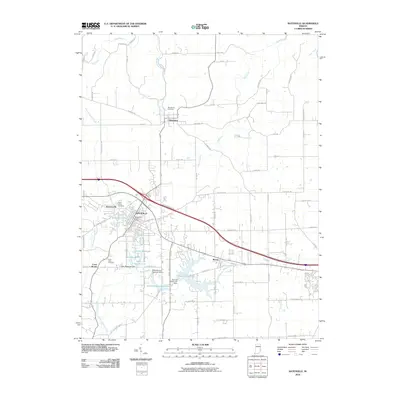
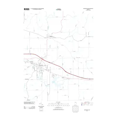
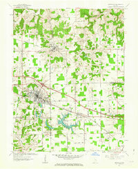
Editions of this 1961 Batesville Map
5 editions found
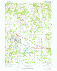
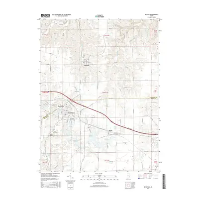
Historical Maps of Batesville Through Time
7 maps found