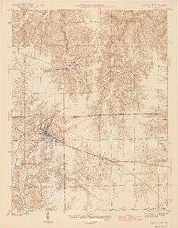
1961 Map of Batesville
USGS Topo · Published 1981About this map
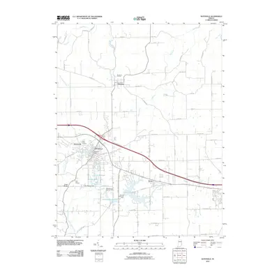
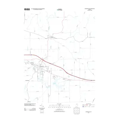
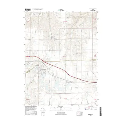
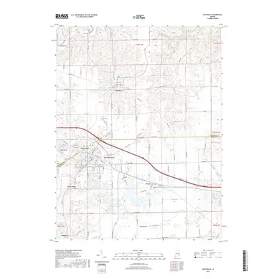
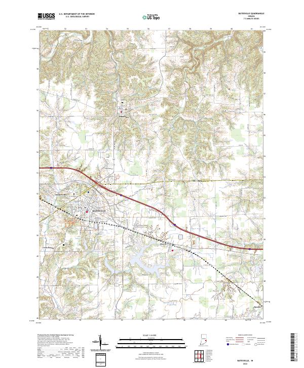
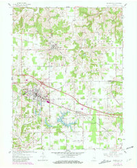
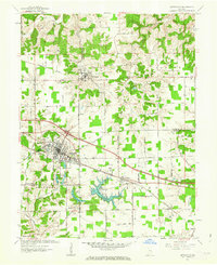
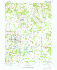
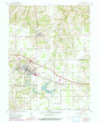
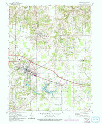
Oldenburg and Batesville anchor this 1961 topographic record, updated with 1980 photorevisions that capture the expansion of southeastern Indiana's transportation corridors. The religious heritage of the area is prominent, centered on the Holy Family Ch and the Sorrowful Mother Shrine in the north. The landscape is defined by the transition from rural agricultural land to industrial and commercial hubs, seen in the development around Huntersville and the Conrail line. Water management is a significant feature of the terrain, with the Bischoff Reservoir and the Batesville Reservoir supporting the growing community. Smaller settlements like Morris and Spades are documented alongside specialized landmarks like the local Drive-in Theater and numerous municipal utilities, reflecting the mid-century infrastructure and social life of Ripley and Franklin counties.
Find a feature on this map
45 named features on this map. Tap any name to fly to it.
Don’t see what you’re looking for? This feature index may not catch every label — zoom into the map to look around manually.
Map Details
Editions of this 1961 Batesville Map
5 editions found
Historical Maps of Batesville Through Time
7 maps found