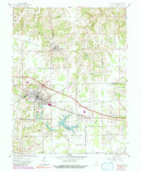
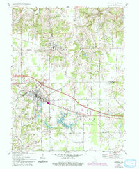
1961 Map of Batesville
USGS Topo · Published 1991About this map
Batesville and Oldenburg serve as the primary anchors of this southeastern Indiana landscape, where the agricultural plateaus of Ray, Butler, and Laughery townships are deeply dissected by the tributaries of Laughery Creek. The map documents a significant water management network, featuring the sprawling Bischoff Reservoir alongside smaller catchments like Mollenkramer Res and Hahn Res.
Find a feature on this map
53 named features on this map. Tap any name to fly to it.
Don’t see what you’re looking for? This feature index may not catch every label — zoom into the map to look around manually.
Map Details
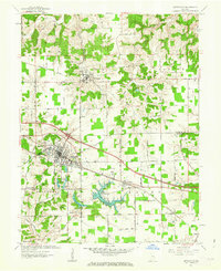
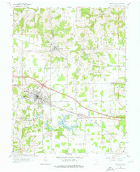
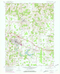
Editions of this 1961 Batesville Map
5 editions found
Other maps of this area

1946 · Pierceville
USGS Topo · 1:24,000

1946 · Batesville
USGS Topo · 1:24,000

1946 · Osgood
USGS Topo · 1:24,000

1946 · New Point
USGS Topo · 1:24,000

1953 · Cincinnati
USGS Topo · 1:250,000

1956 · Metamora
USGS Topo · 1:24,000

1956 · Brookville
USGS Topo · 1:24,000

1957 · Cincinnati
USGS Topo · 1:250,000

1958 · Spades
USGS Topo · 1:24,000

1958 · Clarksburg
USGS Topo · 1:24,000