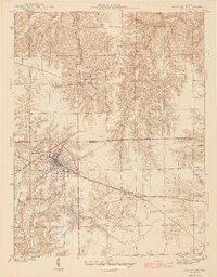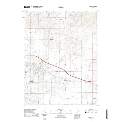
1961 Map of Batesville
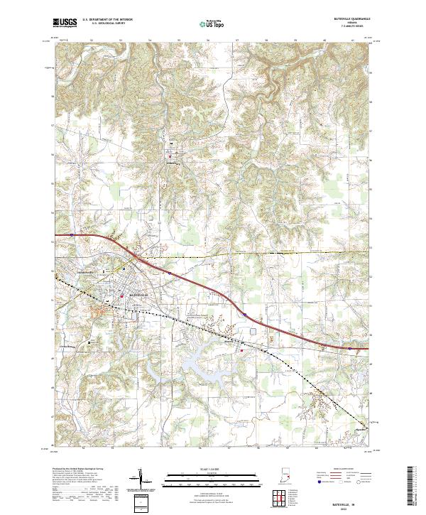
USGS Topo · Published 1976About this map
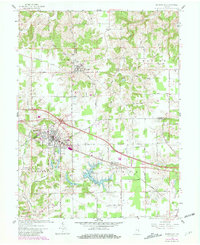
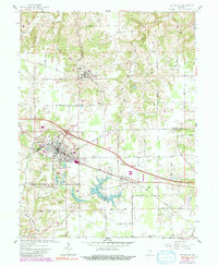
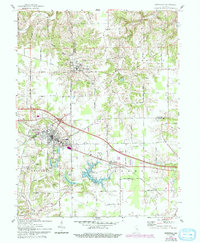
Oldenburg and the neighboring city of Batesville anchor this 1961 landscape, revealing the distinctive religious and transportation heritage of Franklin and Ripley Counties. The map highlights significant local landmarks such as the Sorrowful Mother Shrine and Holy Family Ch, reflecting the area's deep-rooted cultural identity. Industry and infrastructure are marked by the path of the New York Central railroad and the Pipelines that traverse the township boundaries of Ray, Butler, and Laughery. Water resources are well-defined, including the Bischoff Reservoir, Mollenkramer Res, and the winding course of Laughery Creek. From the concentrated street grid of Huntersville to the mid-century Drive-in Theater, the map records a period of established civic life and rural development before the expansion of modern highways altered the local pace.
Find a feature on this map
40 named features on this map. Tap any name to fly to it.
Don’t see what you’re looking for? This feature index may not catch every label — zoom into the map to look around manually.
Map Details
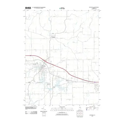
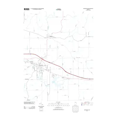
Editions of this 1961 Batesville Map
5 editions found
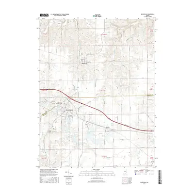
Historical Maps of Batesville Through Time
7 maps found