
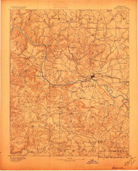
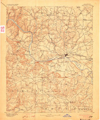
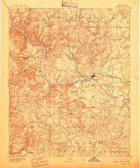
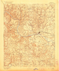
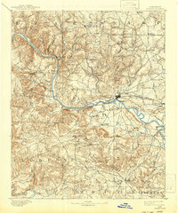
1891 Map of Batesville
USGS Topo · Published 1891About this map
The White River serves as the central artery of commerce and movement through this 1891 survey, winding past the regional hub of Batesville. This era is defined by the transition from river-dependent transportation to rail dominance, as seen in the route of the St. Louis Iron Mountain and Southern RR passing through Moorefield and Sulphur Rock. A network of strategic river crossings, including Grigsby Fy, Greenbrier Fy, and Ramsey Fy, indicates how local residents navigated the landscape before the advent of modern bridges.
Find a feature on this map
74 named features on this map. Tap any name to fly to it.
Don’t see what you’re looking for? This feature index may not catch every label — zoom into the map to look around manually.
Map Details
Editions of this 1891 Batesville Map
6 editions found
Other maps of this area

1890 · Batesville
USGS Topo · 1:125,000

1890 · Mountain Home
USGS Topo · 1:125,000

1891 · Mountain Home
USGS Topo · 1:125,000

1892 · Mountain View
USGS Topo · 1:125,000

1894 · Mountain View
USGS Topo · 1:125,000

1894 · Mountain Home
USGS Topo · 1:125,000

1932 · Strawberry
USGS Topo · 1:62,500

1935 · Strawberry
USGS Topo · 1:62,500

1935 · Newport
USGS Topo · 1:62,500

1935 · Augusta
USGS Topo · 1:62,500