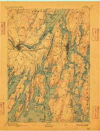
1894 Map of Bath
USGS Topo · Published 1909About this map
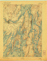
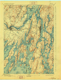
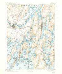
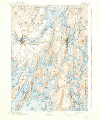
The complex shoreline of the Kennebec River and its tidal estuaries defines this 1890s coastal survey. The city of Bath stands as a primary hub of maritime activity, where the Maine Central R.R. crosses the Whiskeag Creek and Sasanoa River network. To the west, the convergence of the Cathance River, Muddy River, and Androscoggin feeds into the wide expanse of Merrymeeting Bay, creating a unique geographical junction of freshwater and salt.
Find a feature on this map
173 named features on this map. Tap any name to fly to it.
Don’t see what you’re looking for? This feature index may not catch every label — zoom into the map to look around manually.
Map Details
Editions of this 1894 Bath Map
9 editions found
Other maps of this area

1892 · Gardiner
USGS Topo · 1:62,500

1892 · Freeport
USGS Topo · 1:62,500

1893 · Small Point
USGS Topo · 1:62,500

1893 · Casco Bay
USGS Topo · 1:62,500

1893 · Wiscasset
USGS Topo · 1:62,500

1893 · Boothbay
USGS Topo · 1:62,500

1894 · Bath
USGS Topo · 1:62,500

1908 · Lewiston
USGS Topo · 1:62,500

1914 · Casco Bay
USGS Topo · 1:48,000

1916 · Casco Bay
USGS Topo · 1:62,500