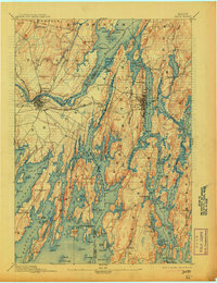
1894 Map of Bath
USGS Topo · Published 1913About this map
The confluence of the Cathance River, Muddy River, and the Androscoggin meets at Merrymeeting Bay, creating a complex network of tidal waters and inland reaches along the Maine coast. This late nineteenth-century landscape is defined by its maritime and industrial hubs at Bath and Brunswick, where the Maine Central R. R. and the Penobscot Line converge. The topography reveals the deeply indented shoreline of the Casco Bay region, with elongated peninsulas such as Mare Point Neck and numerous islands including Orr Island and Cow Island.
Find a feature on this map
150 named features on this map. Tap any name to fly to it.
Don’t see what you’re looking for? This feature index may not catch every label — zoom into the map to look around manually.
Map Details
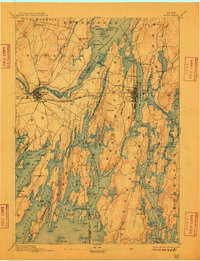
Editions of this 1894 Bath Map
9 editions found
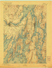
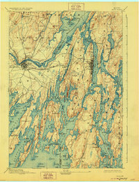
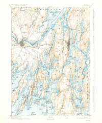
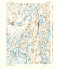
Other maps of this area

1892 · Gardiner
USGS Topo · 1:62,500

1892 · Freeport
USGS Topo · 1:62,500

1893 · Small Point
USGS Topo · 1:62,500

1893 · Casco Bay
USGS Topo · 1:62,500

1893 · Wiscasset
USGS Topo · 1:62,500

1893 · Boothbay
USGS Topo · 1:62,500

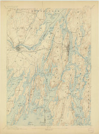
1894 · Bath
USGS Topo · 1:62,500

1908 · Lewiston
USGS Topo · 1:62,500

1914 · Casco Bay
USGS Topo · 1:48,000

1916 · Casco Bay
USGS Topo · 1:62,500