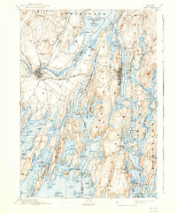
1894 Map of Bath
USGS Topo · Published 1940About this map
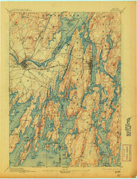
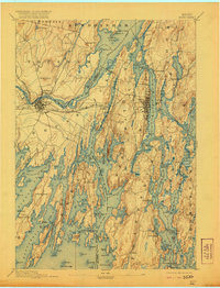
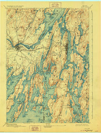
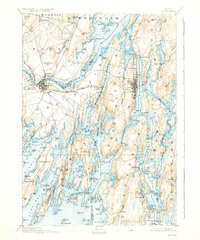
Merrymeeting Bay serves as the focal point of this coastal survey, where the Cathance River and Muddy River converge in a complex network of tidal waters and marshlands. The industrial and maritime centers of Brunswick and Bath are shown at a pivotal stage of development, connected by the M. C. R. R. (Maine Central Railroad). The geography is defined by long, narrow peninsulas and numerous islands, including Orr Island and Brick Id., characteristic of the Maine coast. Smaller settlements like Winnegance, Phippsburg, and the fishing village at Cundy Harbor are clearly delineated. A notable detail is the Hospital located in Bath, indicating the civic infrastructure of the era. The mapping of Nequasset Pond and the surrounding Sasanoa River captures the intricate water passages used for local commerce and navigation before modern bridge networks were fully established.
Find a feature on this map
157 named features on this map. Tap any name to fly to it.
Don’t see what you’re looking for? This feature index may not catch every label — zoom into the map to look around manually.
Map Details
Editions of this 1894 Bath Map
9 editions found
Other maps of this area

1892 · Gardiner
USGS Topo · 1:62,500

1892 · Freeport
USGS Topo · 1:62,500

1893 · Small Point
USGS Topo · 1:62,500

1893 · Casco Bay
USGS Topo · 1:62,500

1893 · Wiscasset
USGS Topo · 1:62,500

1893 · Boothbay
USGS Topo · 1:62,500

1894 · Bath
USGS Topo · 1:62,500

1908 · Lewiston
USGS Topo · 1:62,500

1914 · Casco Bay
USGS Topo · 1:48,000

1916 · Casco Bay
USGS Topo · 1:62,500