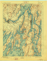
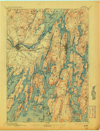
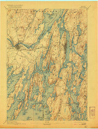
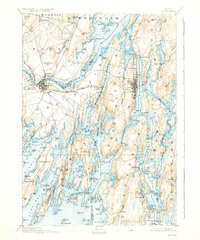
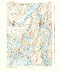
1894 Map of Bath
USGS Topo · Published 1928About this map
Merrymeeting Bay serves as the central hydrographic hub of this coastal survey, where the Cathance River and Muddy River converge before the waters of the Sasanoa River and Back River navigate the fractured granite coastline toward the Atlantic. The late nineteenth-century landscape is defined by its maritime and rail connectivity, centered on the dual settlements of Brunswick and Topsham. The M. C. R. R. (Maine Central Railroad) is a prominent industrial feature, crossing the river and splitting toward Lewiston. This survey documents a deeply indented shoreline of necks and islands, from the fishing community at Cundy Harbor to the riverside docks of Phippsburg and Parker Head. Notable inland features like Mount Ararat and Sprague Hill overlook a network of tidal creeks and coves, including Winnegance Creek and Maquoit Bay, which sustained the region's ship-building and seafaring traditions during this era.
Find a feature on this map
147 named features on this map. Tap any name to fly to it.
Don’t see what you’re looking for? This feature index may not catch every label — zoom into the map to look around manually.
Map Details
Editions of this 1894 Bath Map
9 editions found
Other maps of this area

1892 · Gardiner
USGS Topo · 1:62,500

1892 · Freeport
USGS Topo · 1:62,500

1893 · Small Point
USGS Topo · 1:62,500

1893 · Casco Bay
USGS Topo · 1:62,500

1893 · Wiscasset
USGS Topo · 1:62,500

1893 · Boothbay
USGS Topo · 1:62,500

1894 · Bath
USGS Topo · 1:62,500

1908 · Lewiston
USGS Topo · 1:62,500

1914 · Casco Bay
USGS Topo · 1:48,000

1916 · Casco Bay
USGS Topo · 1:62,500