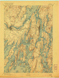
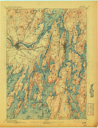
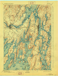
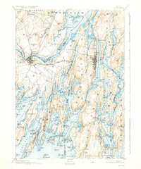
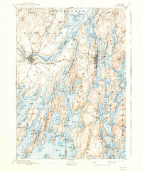
1894 Map of Bath
USGS Topo · Published 1921About this map
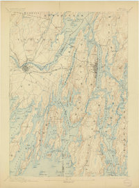
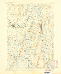
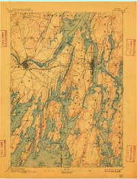
The complex shoreline of the Kennebec and Androscoggin rivers dominates this 1890s survey, where the saltwater of Merrymeeting Bay meets the inland topography of Sagadahoc and Cumberland counties. The shipbuilding center of Bath is shown in detail along the Kennebec, while Brunswick and Topsham sit at the falls of the Androscoggin, connected by the Maine Central R.R. and its Brunswick & Lewiston Branch. This map records the coastal landscape before modern bridge infrastructure, showing the reliance on water-level transport through narrow passages like Hell Gate and across Hockomock Bay. From the granite hills like Mount Ararat to the exposed tip of Popham Beach, the map details a region defined by its tidal rivers and maritime heritage, including the secluded settlements of Winnegance and Phippsburg along the peninsula.
Find a feature on this map
159 named features on this map. Tap any name to fly to it.
Don’t see what you’re looking for? This feature index may not catch every label — zoom into the map to look around manually.
Map Details
Editions of this 1894 Bath Map
9 editions found
Other maps of this area

1892 · Gardiner
USGS Topo · 1:62,500

1892 · Freeport
USGS Topo · 1:62,500

1893 · Small Point
USGS Topo · 1:62,500

1893 · Casco Bay
USGS Topo · 1:62,500

1893 · Wiscasset
USGS Topo · 1:62,500

1893 · Boothbay
USGS Topo · 1:62,500

1894 · Bath
USGS Topo · 1:62,500

1908 · Lewiston
USGS Topo · 1:62,500

1914 · Casco Bay
USGS Topo · 1:48,000

1916 · Casco Bay
USGS Topo · 1:62,500