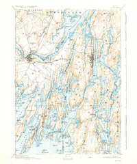
1894 Map of Bath
USGS Topo · Published 1937About this map
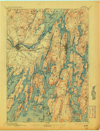
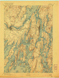
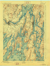
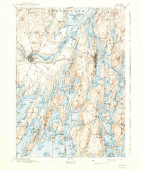
Merrymeeting Bay serves as the focal point of this coastal survey, where the Muddy River and Cathance River converge before the waters of the Kennebec flow toward the Atlantic. The landscape is defined by the intricate finger-like peninsulas of Harpswell, with long inlets such as Long Cove and The Gurnet creating a fragmented coastline of rocky points and ledges. Inland, the industrial and transport hubs of Brunswick and Topsham are shown at a critical juncture, connected by the Maine Central R.R. as it crosses the river toward Bath. The map reveals a maritime economy deeply tied to the shore, from the shipbuilding potential of Winnegance Bay to the small fishing outposts at Cundy Harbor and Orr Island. Local industry is evidenced by sites like Brick Id. and Mill Id., while the interior is punctuated by landmarks such as Mount Ararat and Sprague Hill.
Find a feature on this map
156 named features on this map. Tap any name to fly to it.
Don’t see what you’re looking for? This feature index may not catch every label — zoom into the map to look around manually.
Map Details
Editions of this 1894 Bath Map
9 editions found
Other maps of this area

1892 · Gardiner
USGS Topo · 1:62,500

1892 · Freeport
USGS Topo · 1:62,500

1893 · Small Point
USGS Topo · 1:62,500

1893 · Casco Bay
USGS Topo · 1:62,500

1893 · Wiscasset
USGS Topo · 1:62,500

1893 · Boothbay
USGS Topo · 1:62,500

1894 · Bath
USGS Topo · 1:62,500

1908 · Lewiston
USGS Topo · 1:62,500

1914 · Casco Bay
USGS Topo · 1:48,000

1916 · Casco Bay
USGS Topo · 1:62,500