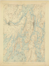
1894 Map of Bath
USGS Topo · Published 1904About this map
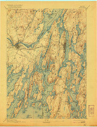
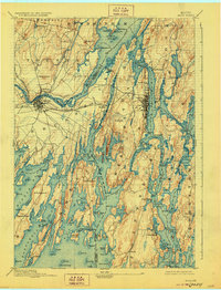
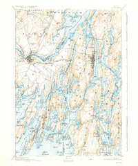
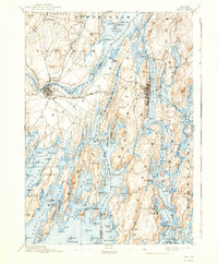
The complex tidal waters of Merrymeeting Bay serve as the focal point for this survey, where the Cathance River and Muddy River converge in a labyrinth of islands and points. Along the Kennebec, the industrial and maritime hub of Bath is shown in detail, its urban grid contrasting with the dispersed coastal settlements of Phippsburg and Georgetown to the south. The western edge of the map is defined by the inland growth of Brunswick and Topsham, connected by the Maine Central R.R. as it spans the river. This 1890s topography captures the region's historical reliance on the water, documenting the intricate shorelines of Harpswell and the small coastal outposts like Cundy Harbor. The landscape is a mix of high points like Mount Ararat and low-lying coastal marshes, providing a look at the mid-coast Maine economy before modern bridge networks fully supplanted traditional water routes.
Find a feature on this map
155 named features on this map. Tap any name to fly to it.
Don’t see what you’re looking for? This feature index may not catch every label — zoom into the map to look around manually.
Map Details
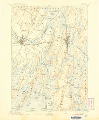
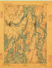
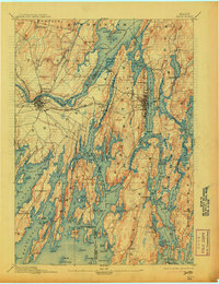
Editions of this 1894 Bath Map
9 editions found
Other maps of this area

1892 · Gardiner
USGS Topo · 1:62,500

1892 · Freeport
USGS Topo · 1:62,500

1893 · Small Point
USGS Topo · 1:62,500

1893 · Casco Bay
USGS Topo · 1:62,500

1893 · Wiscasset
USGS Topo · 1:62,500

1893 · Boothbay
USGS Topo · 1:62,500

1894 · Bath
USGS Topo · 1:62,500

1908 · Lewiston
USGS Topo · 1:62,500

1914 · Casco Bay
USGS Topo · 1:48,000

1916 · Casco Bay
USGS Topo · 1:62,500