
1894 Map of Bath
USGS Topo · Published 1894About this map
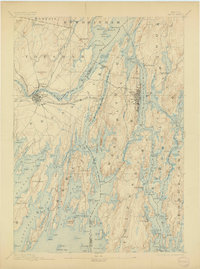
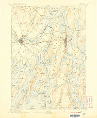
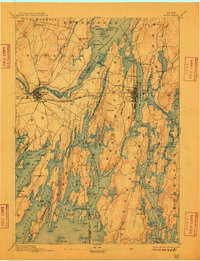
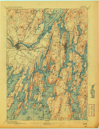
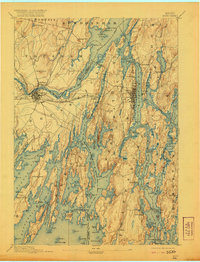
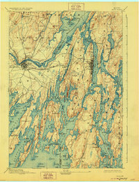
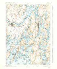
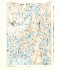
Bath and Brunswick anchor this late nineteenth-century coastal survey, where the confluence of the Androscoggin River and the Kennebec River creates the complex tidal environment of Merrymeeting Bay. The map documents a maritime landscape defined by its long peninsulas and sheltered harbors, from the working waterfronts of Woolwich to the remote coastal reaches of Cundys Harbor and Phippsburg. Transportation networks of the era are clearly delineated, including the M. C. R. R. and the Brunswick & Lewiston Branch, which connected these river ports to the wider Maine economy. The intricate shoreline, marked by hundreds of named islands and points such as Bombazine Island and Bald Head, reveals a geography where water was the primary thoroughfare for commerce and daily life. Inland, prominent landmarks like Mount Ararat and Tate Hill provide vertical contrast to the sprawling salt marshes and bays.
Find a feature on this map
152 named features on this map. Tap any name to fly to it.
Don’t see what you’re looking for? This feature index may not catch every label — zoom into the map to look around manually.
Map Details
Editions of this 1894 Bath Map
9 editions found
Other maps of this area

1892 · Gardiner
USGS Topo · 1:62,500

1892 · Freeport
USGS Topo · 1:62,500

1893 · Small Point
USGS Topo · 1:62,500

1893 · Casco Bay
USGS Topo · 1:62,500

1893 · Wiscasset
USGS Topo · 1:62,500

1893 · Boothbay
USGS Topo · 1:62,500

1908 · Lewiston
USGS Topo · 1:62,500

1914 · Casco Bay
USGS Topo · 1:48,000

1916 · Casco Bay
USGS Topo · 1:62,500

1916 · Portland And Vicinity
USGS Topo · 1:62,500