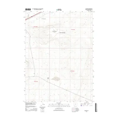
2015 Map of Baxter
USGS Topo · Published 2015About this map
Rock Springs-Sweetwater County Airport serves as a modern focal point in this high-desert landscape of Sweetwater County, situated within the vast expanse of Rock Springs. The terrain is defined by its dramatic depressions, most notably the North Baxter Basin and South Baxter Basin, which shape the local hydrology and infrastructure. The intermittent flow of Bitter Cr cuts through the northern portion of the quadrangle near the small settlement area of Baxter, where the local road network, including N Baxter Rd, follows the contours of the basin floor. This 2015 survey illustrates the logistical layout of the region, connecting remote desert basins via secondary routes like Cr-45 and Wy-370 to the larger aviation hub and the industrial corridors of southern Wyoming.
Find a feature on this map
14 named features on this map. Tap any name to fly to it.
Don’t see what you’re looking for? This feature index may not catch every label — zoom into the map to look around manually.
Map Details
Editions of this 2015 Baxter Map
This is the sole edition of this map. No revisions or reprints were ever made.
Other maps of this area
1908 · Rock Springs
USGS Topo · 1:62,500
1910 · Rock Springs
USGS Topo · 1:62,500

1954 · Rock Springs
USGS Topo · 1:250,000

1958 · Rock Springs
USGS Topo · 1:250,000

1962 · Rock Springs
USGS Topo · 1:250,000
1968 · North Baxter
USGS Topo · 1:24,000
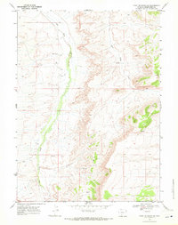
1968 · Point Of Rocks SW
USGS Topo · 1:24,000
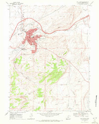
1968 · Rock Springs
USGS Topo · 1:24,000
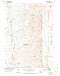
1968 · Reliance
USGS Topo · 1:24,000
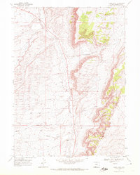
1968 · Camel Rock
USGS Topo · 1:24,000