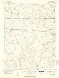
1953 Map of Bay View
USGS Topo · Published 1954About this map
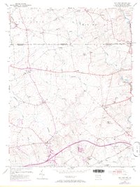
The Mason and Dixon Line serves as the focal point of this mid-century survey, dividing Chester County, Pennsylvania, from Cecil County, Maryland. The landscape is defined by the complex drainage of Northeast Creek and Little Elk Creek, where rural settlements like Blueball, Calvert, and Lewisville are connected by a network of local roads. In the southern portion of the quadrangle, the Baltimore and Ohio rail line cuts through the terrain near Eder, illustrating the corridor's role in regional transport.
Find a feature on this map
49 named features on this map. Tap any name to fly to it.
Don’t see what you’re looking for? This feature index may not catch every label — zoom into the map to look around manually.
Map Details
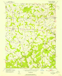
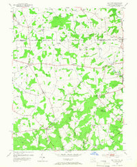
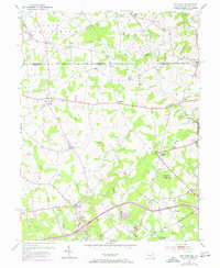
Editions of this 1953 Bay View Map
8 editions found
Other maps of this area

1898 · Elkton
USGS Topo · 1:62,500

1900 · Elkton
USGS Topo · 1:62,500

1900 · Havre De Grace
USGS Topo · 1:62,500

1904 · Coatesville
USGS Topo · 1:62,500

1906 · Coatesville
USGS Topo · 1:62,500

1912 · Quarryville
USGS Topo · 1:62,500

1917 · Elkton
USGS Topo · 1:62,500

1918 · Coatesville
USGS Topo · 1:62,500

1942 · Havre De Grace
USGS Topo · 1:62,500

1942 · Elkton
USGS Topo · 1:62,500