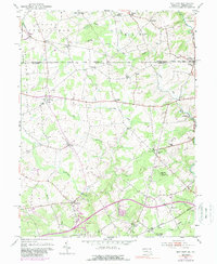
1953 Map of Bay View
USGS Topo · Published 1989About this map
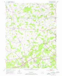
The Mason and Dixon Line serves as a stark historical boundary across this landscape, dividing Chester County from Cecil County. This borderland is defined by a dense network of small communities and rural religious centers such as Moores Chapel, St Johns Ch, and Little Elk Chapel. The transition from the mid-20th century into the early 1970s is visible in the evolution of local infrastructure, including Interchange 8 and the Toll Road near Bay View.
Find a feature on this map
53 named features on this map. Tap any name to fly to it.
Don’t see what you’re looking for? This feature index may not catch every label — zoom into the map to look around manually.
Map Details
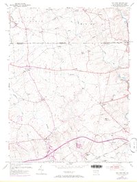
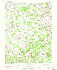
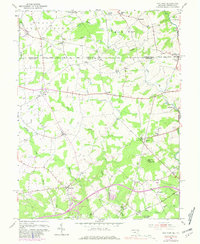
Editions of this 1953 Bay View Map
8 editions found
Other maps of this area

1898 · Elkton
USGS Topo · 1:62,500

1900 · Elkton
USGS Topo · 1:62,500

1900 · Havre De Grace
USGS Topo · 1:62,500

1904 · Coatesville
USGS Topo · 1:62,500

1906 · Coatesville
USGS Topo · 1:62,500

1912 · Quarryville
USGS Topo · 1:62,500

1917 · Elkton
USGS Topo · 1:62,500

1918 · Coatesville
USGS Topo · 1:62,500

1942 · Havre De Grace
USGS Topo · 1:62,500

1942 · Elkton
USGS Topo · 1:62,500