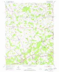
1953 Map of Bay View
USGS Topo · Published 1971About this map
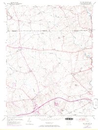
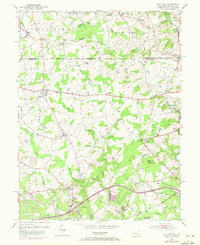
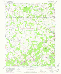
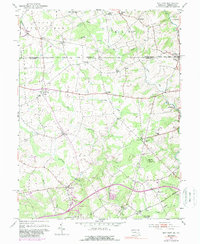
The Mason and Dixon Line defines the northern boundary of this Maryland-Pennsylvania borderlands landscape, separating Nottingham and Elk townships. Small crossroad settlements such as Lombard, Lewisville, and Providence dot the region, connected by a network of rural roads and the Baltimore and Ohio railroad corridor. The area is notable for its high density of community centers, including Mt Olivet Ch, Media Chapel, and the Union Sch, which reflect the localized social structure of the mid-20th century. Terrain features like the prominent Egg Hill rise above the drainage of Little Elk Creek and the Northeast Creek, while the Pleasant Hill Lookout Tower suggests the importance of fire observation in these wooded hills. This map documents a period before heavy suburbanization, showing a landscape defined by small-scale farming and old country churches.
Find a feature on this map
44 named features on this map. Tap any name to fly to it.
Don’t see what you’re looking for? This feature index may not catch every label — zoom into the map to look around manually.
Map Details
Editions of this 1953 Bay View Map
8 editions found
Other maps of this area

1898 · Elkton
USGS Topo · 1:62,500

1900 · Elkton
USGS Topo · 1:62,500

1900 · Havre De Grace
USGS Topo · 1:62,500

1904 · Coatesville
USGS Topo · 1:62,500

1906 · Coatesville
USGS Topo · 1:62,500

1912 · Quarryville
USGS Topo · 1:62,500

1917 · Elkton
USGS Topo · 1:62,500

1918 · Coatesville
USGS Topo · 1:62,500

1942 · Havre De Grace
USGS Topo · 1:62,500

1942 · Elkton
USGS Topo · 1:62,500