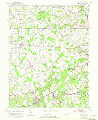
1953 Map of Bay View
USGS Topo · Published 1972About this map
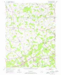
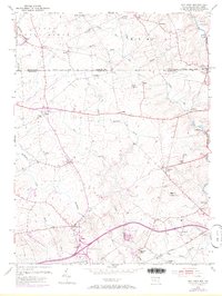
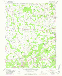
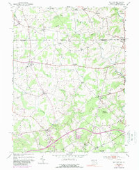
The historic Mason and Dixon Line stretches across this landscape, separating Maryland and Pennsylvania and defining the northern boundary of Cecil Co. This document captures the rural character of the region during a period of transition, where established farming communities like Calvert, Lombard, and Zion remain central to the geography. The map reveals a high density of rural institutions, with numerous country churches such as St Johns Ch and Moores Chapel serving the small settlements. Transport is dominated by the Baltimore and Ohio railroad corridor in the south, running near Mechanic Valley and Eder. Waterways like Little Elk Creek and Northeast Creek provide the natural structure for the area's development, while high points such as Egg Hill, topped by the Pleasant Hill Lookout Tower, offered a vantage point over the wooded and agricultural terrain of the mid-20th century.
Find a feature on this map
49 named features on this map. Tap any name to fly to it.
Don’t see what you’re looking for? This feature index may not catch every label — zoom into the map to look around manually.
Map Details
Editions of this 1953 Bay View Map
8 editions found
Other maps of this area

1898 · Elkton
USGS Topo · 1:62,500

1900 · Elkton
USGS Topo · 1:62,500

1900 · Havre De Grace
USGS Topo · 1:62,500

1904 · Coatesville
USGS Topo · 1:62,500

1906 · Coatesville
USGS Topo · 1:62,500

1912 · Quarryville
USGS Topo · 1:62,500

1917 · Elkton
USGS Topo · 1:62,500

1918 · Coatesville
USGS Topo · 1:62,500

1942 · Havre De Grace
USGS Topo · 1:62,500

1942 · Elkton
USGS Topo · 1:62,500