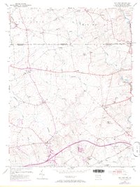
1953 Map of Bay View
USGS Topo · Published 1972About this map
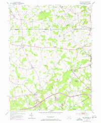
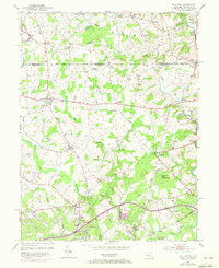
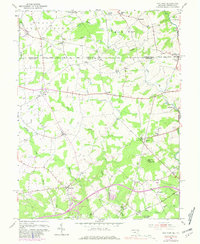
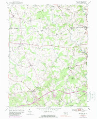
The Mason and Dixon Line defines the northern reaches of this borderland landscape, separating Chester Co in Pennsylvania from Maryland's northern edge. Centered on the settlement of Bay View, the terrain is marked by the winding courses of Northeast Creek and Little Elk Creek, which carve through the countryside near prominent heights like Egg Hill and its Pleasant Hill Lookout Tower. The mapping reveals a mid-century rural network of community landmarks, including Little Elk Chapel, Union Sch, and the Rosebank Cem. Transportation is anchored by the Baltimore and Ohio West Branch railroad in the south and the emerging Toll Road corridor. Smaller crossroads like Lombard, Zion, and Blueball speak to an era of localized trade and family homesteads before later infrastructure shifts altered the region's character.
Find a feature on this map
53 named features on this map. Tap any name to fly to it.
Don’t see what you’re looking for? This feature index may not catch every label — zoom into the map to look around manually.
Map Details
Editions of this 1953 Bay View Map
8 editions found
Other maps of this area

1898 · Elkton
USGS Topo · 1:62,500

1900 · Elkton
USGS Topo · 1:62,500

1900 · Havre De Grace
USGS Topo · 1:62,500

1904 · Coatesville
USGS Topo · 1:62,500

1906 · Coatesville
USGS Topo · 1:62,500

1912 · Quarryville
USGS Topo · 1:62,500

1917 · Elkton
USGS Topo · 1:62,500

1918 · Coatesville
USGS Topo · 1:62,500

1942 · Havre De Grace
USGS Topo · 1:62,500

1942 · Elkton
USGS Topo · 1:62,500