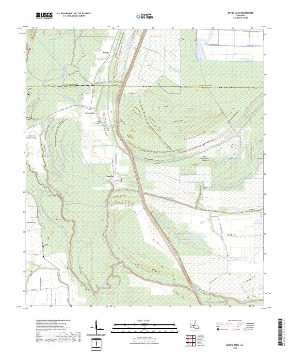
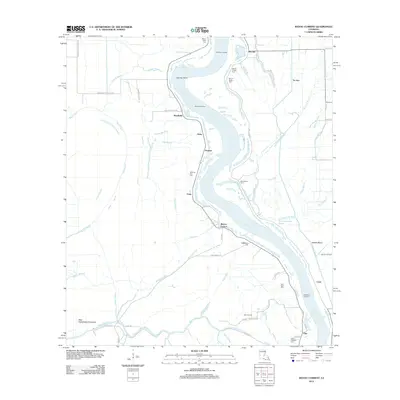
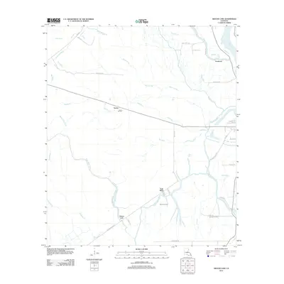
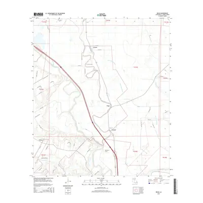
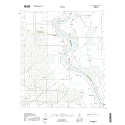
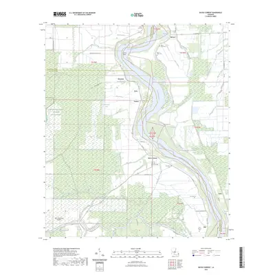
2024 Map of Bayou Jack
USGS Topo · Published 2024About this map
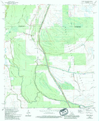
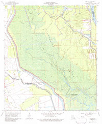
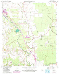
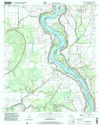
The low-lying wetlands of the West Atchafalaya Floodway dominate this portion of the Louisiana landscape, where the boundary between Avoyelles Parish and St. Landry Parish cuts through dense bayous and flood-control infrastructure. Small settlements such as Nugent, Taterville, and Bayou Jack appear as clusters along the narrow corridors of dry ground, often situated near historic watercourses like Bayou Rouge and Trevassar Bayou.
Find a feature on this map
43 named features on this map. Tap any name to fly to it.
Don’t see what you’re looking for? This feature index may not catch every label — zoom into the map to look around manually.
Map Details
Editions of this 2024 Bayou Jack Map
This is the sole edition of this map. No revisions or reprints were ever made.
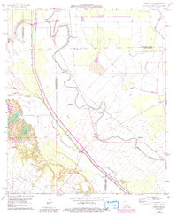
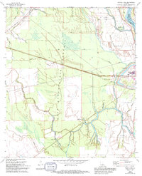
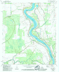
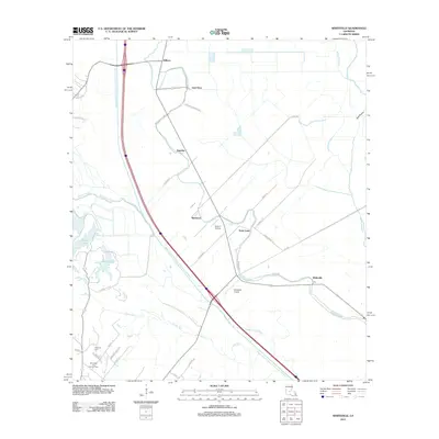
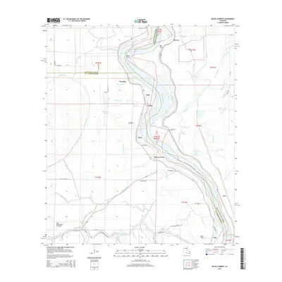
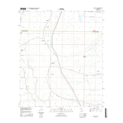
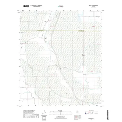
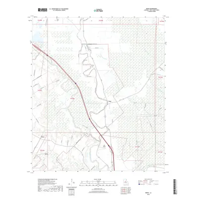
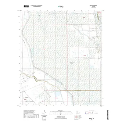
Historical Maps of Taterville Through Time
38 maps found
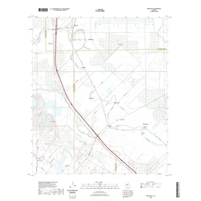
1966 Whiteville
St. Landry Parish, LA
1968 Swayze Lake
St. Landry Parish, LA
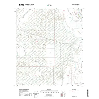
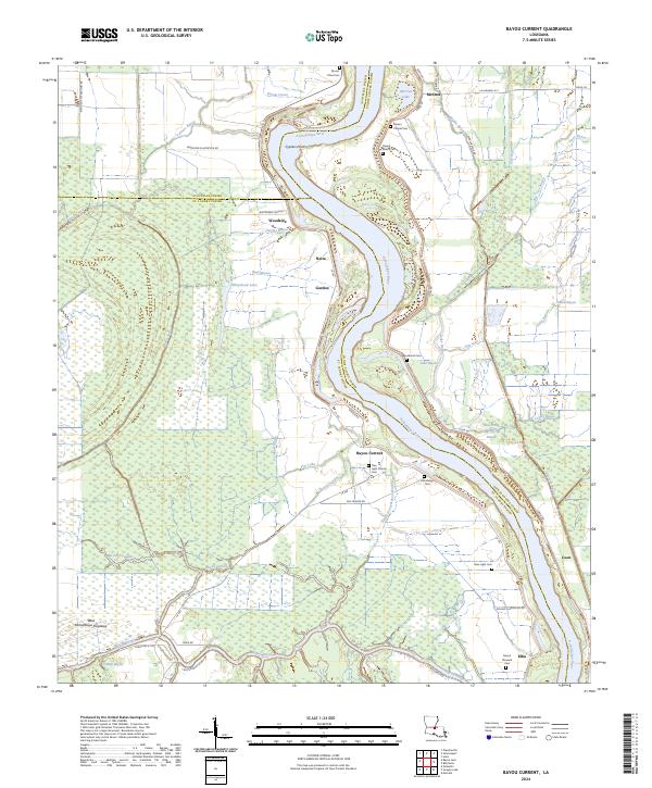
1969 Bayou Current
St. Landry Parish, LA
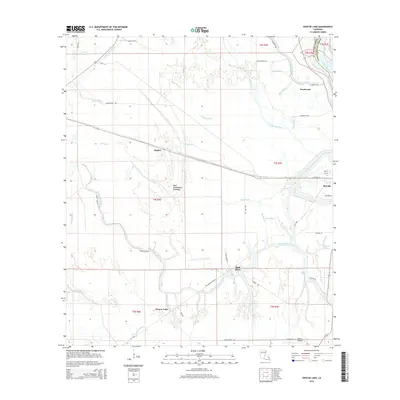
1969 Bayou Jack
St. Landry Parish, LA
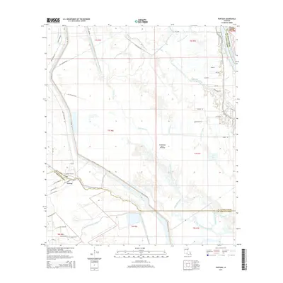
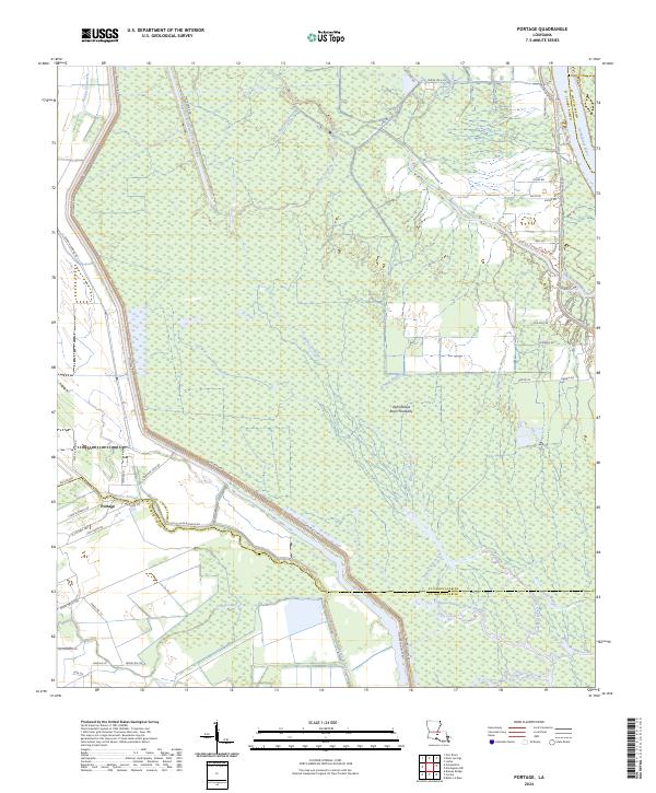
1970 Portage
St. Landry Parish, LA
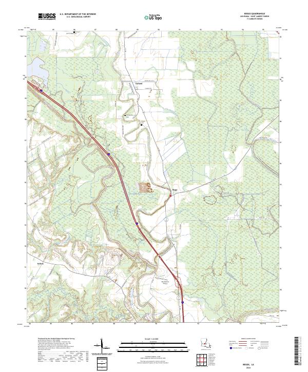
1983 Beggs
St. Landry Parish, LA
1998 Bayou Current
St. Landry Parish, LA
2012 Bayou Current
St. Landry Parish, LA
2012 Bayou Jack
St. Landry Parish, LA
2012 Beggs
St. Landry Parish, LA
2012 Portage
St. Landry Parish, LA
2012 Swayze Lake
St. Landry Parish, LA
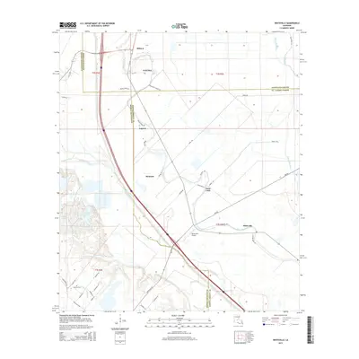
2012 Whiteville
St. Landry Parish, LA
2015 Bayou Current
St. Landry Parish, LA
2015 Bayou Jack
St. Landry Parish, LA
2015 Beggs
St. Landry Parish, LA
2015 Portage
St. Landry Parish, LA
2015 Swayze Lake
St. Landry Parish, LA
2015 Whiteville
St. Landry Parish, LA
2018 Bayou Current
St. Landry Parish, LA
2018 Bayou Jack
St. Landry Parish, LA
2018 Beggs
St. Landry Parish, LA
2018 Portage
St. Landry Parish, LA
2018 Swayze Lake
St. Landry Parish, LA
2018 Whiteville
St. Landry Parish, LA
2020 Bayou Current
St. Landry Parish, LA
2020 Bayou Jack
St. Landry Parish, LA
2020 Beggs
St. Landry Parish, LA
2020 Portage
St. Landry Parish, LA
2020 Swayze Lake
St. Landry Parish, LA
2020 Whiteville
St. Landry Parish, LA
2023 Bayou Current
St. Landry Parish, LA
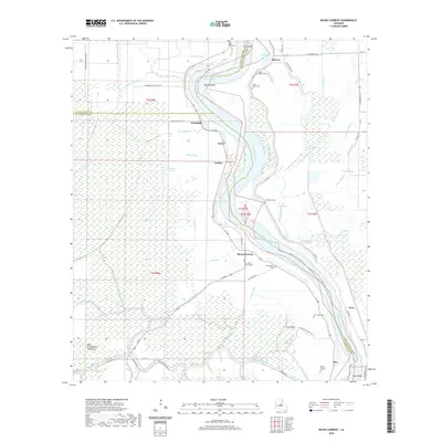
2024 Bayou Current
St. Landry Parish, LA
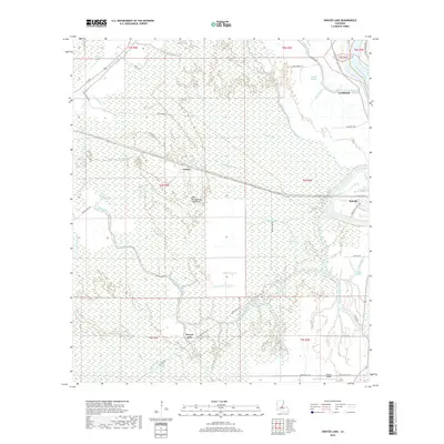
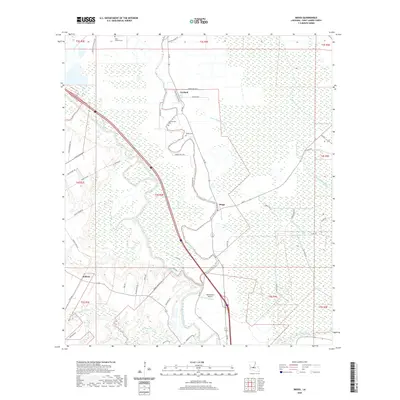
2024 Bayou Jack
St. Landry Parish, LA
2024 Beggs
St. Landry Parish, LA
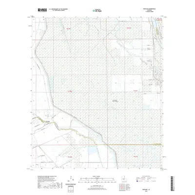
2024 Portage
St. Landry Parish, LA
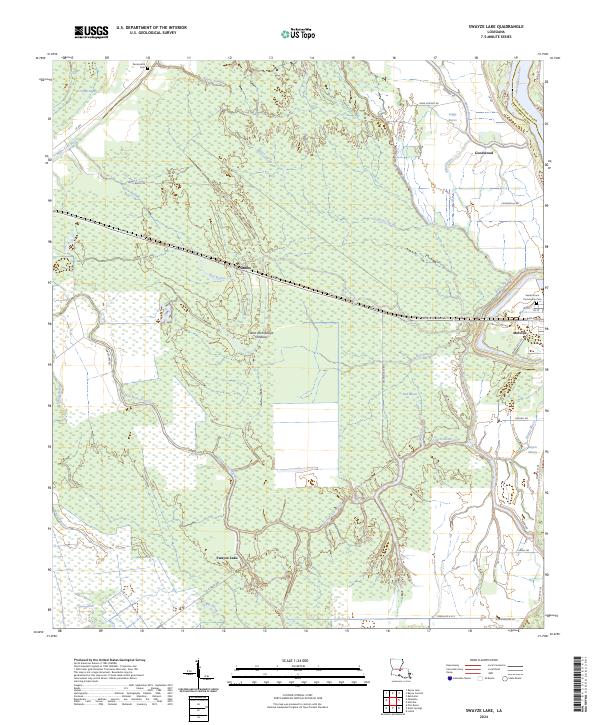
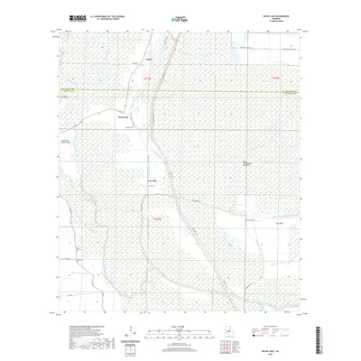
2024 Swayze Lake
St. Landry Parish, LA
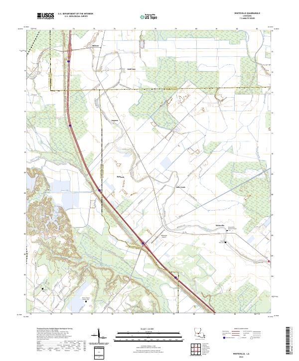
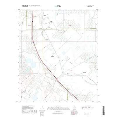
2024 Whiteville
St. Landry Parish, LA