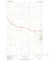
1982 Map of Beach West
USGS Topo · Published 1982This historical map portrays the area of Beach West in 1982, primarily covering Golden Valley County as well as portions of Golden Valley County and Montana. Featuring a scale of 1:24000, this map provides a highly detailed snapshot of the terrain, roads, buildings, counties, and historical landmarks in the Beach West region at the time. Published in 1982, it is the sole known edition of this map.
Map Details
Editions of this 1982 Beach West Map
This is the sole edition of this map. No revisions or reprints were ever made.
Historical Maps of Golden Valley County Through Time
31 maps found
1970 Eagle Draw
Golden Valley County, ND
1974 Hootowl Creek East
Golden Valley County, ND
1974 Hootowl Creek SW
Golden Valley County, ND
1974 Hootowl Creek West
Golden Valley County, ND
1974 Odland Dam
Golden Valley County, ND
1974 Roosevelt Creek West
Golden Valley County, ND
1974 Skaar
Golden Valley County, ND
1974 Trotters
Golden Valley County, ND
1974 Trotters SE
Golden Valley County, ND
1974 Wannagan Creek West
Golden Valley County, ND
1974 West Twin Butte
Golden Valley County, ND
1979 Buffalo Gap Campground
Golden Valley County, ND
1979 Sentinel Butte SE
Golden Valley County, ND
1979 Square Butte
Golden Valley County, ND
1980 Alpha
Golden Valley County, ND
1980 Beach East
Golden Valley County, ND
1980 Thelan
Golden Valley County, ND

1982 Beach West
Golden Valley County, ND
1997 Alpha
Golden Valley County, ND
1997 Buffalo Gap Campground
Golden Valley County, ND
1997 Dry Bullion Creek
Golden Valley County, ND
1997 Eagle Draw
Golden Valley County, ND
1997 Hootowl Creek East
Golden Valley County, ND
1997 Roosevelt Creek West
Golden Valley County, ND
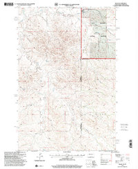
1997 Skaar
Golden Valley County, ND
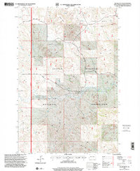
1997 Square Butte
Golden Valley County, ND
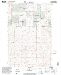
1997 Trotters
Golden Valley County, ND
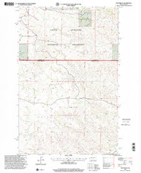
1997 Trotters SE
Golden Valley County, ND
1997 Wannagan Creek West
Golden Valley County, ND
1997 West Twin Butte
Golden Valley County, ND
1997 Williams Lake
Golden Valley County, ND