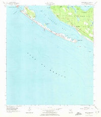
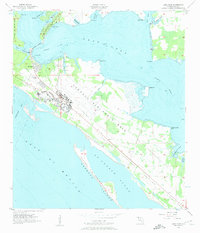
1956 Map of Beacon Beach
USGS Topo · Published 1971About this map
Shell Island stretches across the center of this coastal survey, acting as a natural barrier between the open Gulf of Mexico and the sheltered waters of St Andrew Bay. The landscape is dominated by the military presence of Tyndall Air Force Base, which spans from Lands End across the mainland, encompassing several coastal settlements and landmarks. Small bayside communities such as Cromanton and Beacon Beach appear alongside specialized locations like Camp Merrill.
Find a feature on this map
19 named features on this map. Tap any name to fly to it.
Don’t see what you’re looking for? This feature index may not catch every label — zoom into the map to look around manually.
Map Details
Editions of this 1956 Beacon Beach Map
2 editions found
Other maps of this area

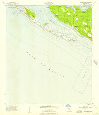
1943 · Beacon Beach
USGS Topo · 1:31,680

1943 · Panama City
USGS Topo · 1:31,680

1943 · Crooked Island
USGS Topo · 1:31,680

1943 · Panama City Beach
USGS Topo · 1:31,680

1944 · Long Point
USGS Topo · 1:31,680
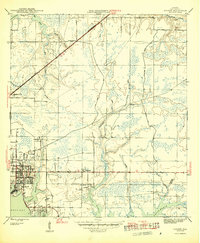
1945 · Parker
USGS Topo · 1:31,680

1949 · Apalachicola
USGS Topo · 1:250,000

1954 · Tallahassee
USGS Topo · 1:250,000
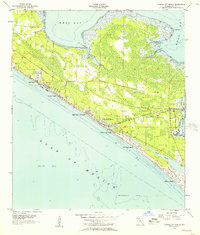
1955 · Panama City Beach
USGS Topo · 1:24,000
1956 · Long Point
USGS Topo · 1:24,000
Featured Places
- Beacon Beach, FL
- Felix Lake, FL
- Redfish Point Extension, FL
- Redfish Point Housing, FL
- Sabre Palms Housing, FL