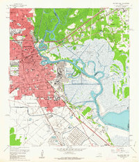
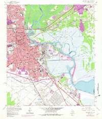
1960 Map of Beaumont East
USGS Topo · Published 1962About this map
The Spindletop Oil Field anchors the southern landscape of this coastal Texas region, marking the enduring industrial legacy of the Beaumont area. By the early 1960s, the city of Beaumont had expanded significantly eastward toward the Neches River, showing a dense network of neighborhoods, schools, and hospitals. Notable institutions like the Lamar State College of Technology and Hotel Dieu Hospital reflect the mid-century growth of the urban core, while the presence of a massive Oil Refinery and the Rose City Oil Field across the river in Rose City highlight the region's total immersion in the petroleum economy. Transport relies on the Kansas City Southern and Southern Pacific railroads, which navigate the marshy bends of Star Bayou and Bairds Bayou. Smaller settlements such as Guffey, Gladys, and West Oakland are visible, alongside specialized infrastructure like the Fresh Water Canal.
Find a feature on this map
104 named features on this map. Tap any name to fly to it.
Don’t see what you’re looking for? This feature index may not catch every label — zoom into the map to look around manually.
Map Details
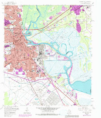
Editions of this 1960 Beaumont East Map
6 editions found
Other maps of this area

1926 · Terry
USGS Topo · 1:24,000

1926 · Lakeview
USGS Topo · 1:24,000

1926 · Vidor
USGS Topo · 1:24,000

1926 · Texla
USGS Topo · 1:24,000

1932 · Beaumont
USGS Topo · 1:62,500

1943 · Port Arthur North
USGS Topo · 1:24,000

1943 · Terry
USGS Topo · 1:24,000

1943 · Texla
USGS Topo · 1:24,000

1943 · Fannett East
USGS Topo · 1:24,000

1943 · Beaumont East
USGS Topo · 1:24,000