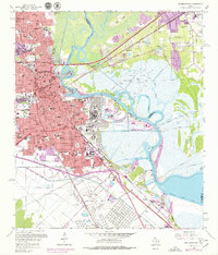
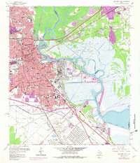
1960 Map of Beaumont East
USGS Topo · Published 1979About this map
The industrial and educational hub of Beaumont centers on the serpentine path of the Neches River, where the iconic Spindletop Oil Field and a massive Oil Refinery define the local economy. This 1960 era landscape showcases the intersection of river-based commerce at the Turning Basin and the growth of the Lamar State College of Technology. The residential street grid is densely packed with community pillars, ranging from the South Texas State Fairground and Magnolia Cemetery to a vast network of neighborhood institutions like Bowie Jr High Sch and St Anthony High Sch. East of the river, the terrain shifts into the marshy expanses of Smith Island and Rose City, where the Southern Pacific and Kansas City Southern railroads navigate the low-lying bayous and ridges toward Vidor.
Find a feature on this map
112 named features on this map. Tap any name to fly to it.
Don’t see what you’re looking for? This feature index may not catch every label — zoom into the map to look around manually.
Map Details
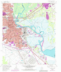
Editions of this 1960 Beaumont East Map
6 editions found
Other maps of this area

1926 · Terry
USGS Topo · 1:24,000

1926 · Lakeview
USGS Topo · 1:24,000

1926 · Vidor
USGS Topo · 1:24,000

1926 · Texla
USGS Topo · 1:24,000

1932 · Beaumont
USGS Topo · 1:62,500

1943 · Port Arthur North
USGS Topo · 1:24,000

1943 · Terry
USGS Topo · 1:24,000

1943 · Texla
USGS Topo · 1:24,000

1943 · Fannett East
USGS Topo · 1:24,000

1943 · Beaumont East
USGS Topo · 1:24,000