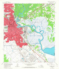
1960 Map of Beaumont East
USGS Topo · Published 1967About this map
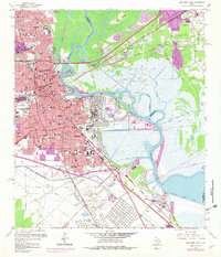
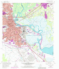
The Spindletop Oil Field and the industrial corridors of the Neches River dominate this landscape, capturing the peak of Texas petrochemical expansion. In the east, the sprawling Oil Refinery sits adjacent to the Turning Basin, where maritime commerce meets the deep-water infrastructure of Harbor Island. This 1960s perspective reveals the dense residential and educational growth of south Beaumont, anchored by the Lamar State College of Technology and a complex network of schools like Pollard High Sch and Hebert High Sch. The map preserves the original rail-and-river economy, tracing the Southern Pacific lines through the heart of the city while outlying areas like Guffey and Gladys remain tied to the legacy of the oil boom. Historic crossings and rural routes, such as the Old Mansfield Ferry Road, provide a contrast to the burgeoning urban grid.
Find a feature on this map
116 named features on this map. Tap any name to fly to it.
Don’t see what you’re looking for? This feature index may not catch every label — zoom into the map to look around manually.
Map Details
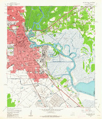
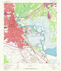
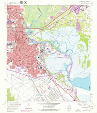
Editions of this 1960 Beaumont East Map
6 editions found
Other maps of this area

1926 · Terry
USGS Topo · 1:24,000

1926 · Lakeview
USGS Topo · 1:24,000

1926 · Vidor
USGS Topo · 1:24,000

1926 · Texla
USGS Topo · 1:24,000

1932 · Beaumont
USGS Topo · 1:62,500

1943 · Port Arthur North
USGS Topo · 1:24,000

1943 · Terry
USGS Topo · 1:24,000

1943 · Texla
USGS Topo · 1:24,000

1943 · Fannett East
USGS Topo · 1:24,000

1943 · Beaumont East
USGS Topo · 1:24,000