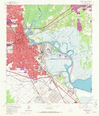
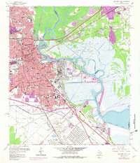
1960 Map of Beaumont East
USGS Topo · Published 1971About this map
The industrial and educational hub of Southeast Texas is centered here at Beaumont, where the Neches River forms a wide curve at the Turning Basin. This mid-century landscape is defined by the legacy of the petroleum industry, most notably the legendary Spindletop Oil Field and the expansive Oil Refinery infrastructure near Smith Island. The map shows a city in transition, with purple tinting indicating urban expansion around Lamar State College Technology and the residential growth near Rose City.
Find a feature on this map
107 named features on this map. Tap any name to fly to it.
Don’t see what you’re looking for? This feature index may not catch every label — zoom into the map to look around manually.
Map Details
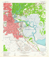
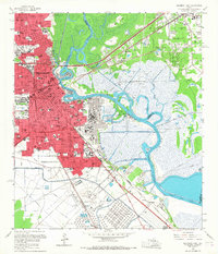
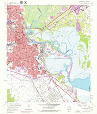
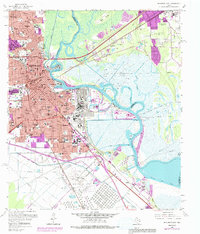
Editions of this 1960 Beaumont East Map
6 editions found
Other maps of this area

1926 · Terry
USGS Topo · 1:24,000

1926 · Lakeview
USGS Topo · 1:24,000

1926 · Vidor
USGS Topo · 1:24,000

1926 · Texla
USGS Topo · 1:24,000

1932 · Beaumont
USGS Topo · 1:62,500

1943 · Port Arthur North
USGS Topo · 1:24,000

1943 · Terry
USGS Topo · 1:24,000

1943 · Texla
USGS Topo · 1:24,000

1943 · Fannett East
USGS Topo · 1:24,000

1943 · Beaumont East
USGS Topo · 1:24,000