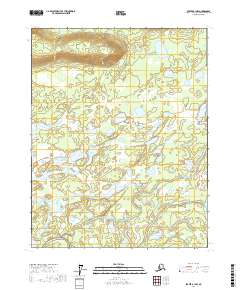
2017 Map of Beaver B-1 NW
USGS Topo · Published 2017About this map
Ninemile Lake and Elbow Lake dot a landscape defined by an extensive network of wetlands and seasonal water bodies in the Yukon-Koyukuk region. This 2017 survey reveals a complex hydrological system where the Joe Guay Slough meanders near Pitka Lake, suggesting the shifting nature of these interior Alaskan waterways. The presence of the Government Road provides a rare terrestrial corridor through the marshy terrain of George Meadow, connecting isolated points near Argo Bill Lake and Annie Lake. The map's detailed contouring and hydrographic data reflect the intricate drainage patterns of the boreal wilderness, documenting the relationship between the low-lying meadows and the scattered permanent lakes that anchor this remote territory.
Find a feature on this map
13 named features on this map. Tap any name to fly to it.
Don’t see what you’re looking for? This feature index may not catch every label — zoom into the map to look around manually.
Map Details
Editions of this 2017 Beaver B-1 NW Map
This is the sole edition of this map. No revisions or reprints were ever made.
Other maps of this area

1951 · Beaver
USGS Topo · 1:250,000

1956 · Beaver B-2
USGS Topo · 1:63,360

1956 · Beaver
USGS Topo · 1:250,000

1956 · Beaver B-1
USGS Topo · 1:63,360

1964 · Beaver
USGS Topo · 1:250,000
1990 · Beaver C-2
USGS Topo · 1:63,360
1990 · Beaver C-1
USGS Topo · 1:63,360
2017 · Beaver B-1 SW
USGS Topo · 1:25,000
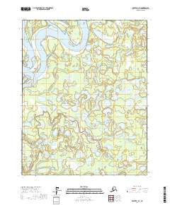
2017 · Beaver B-1 SE
USGS Topo · 1:25,000
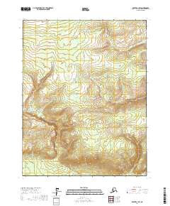
2017 · Beaver C-1 SW
USGS Topo · 1:25,000