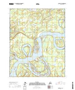
2017 Map of Beaver B-2 SE
USGS Topo · Published 2017About this map
The Yukon River dominates this landscape within the Yukon-Koyukuk Census Area, where its massive channels create a complex network of island landforms and shifting waterways. The confluence with the Hodzana River and the nearby Hodzana Slough illustrates the dynamic nature of this interior Alaskan river system. Significant secondary water features like Whirlpool Slough and Joe Guay Slough define the intricate riparian environment, showing how the river bypasses older bends. Evidence of constant hydrological change is visible at the New Cutoff and along the winding path of Beaver Slough in the southeastern quadrant. This area, largely defined by the Public Land Survey System township boundaries of T17N and T18N, remains an unsettled expanse of wetlands and sandbars typical of the Yukon Flats region.
Find a feature on this map
11 named features on this map. Tap any name to fly to it.
Don’t see what you’re looking for? This feature index may not catch every label — zoom into the map to look around manually.
Map Details
Editions of this 2017 Beaver B-2 SE Map
This is the sole edition of this map. No revisions or reprints were ever made.
Other maps of this area

1951 · Beaver
USGS Topo · 1:250,000

1956 · Beaver B-2
USGS Topo · 1:63,360
1956 · Beaver A-1
USGS Topo · 1:63,360
1956 · Beaver A-2
USGS Topo · 1:63,360

1956 · Beaver
USGS Topo · 1:250,000

1956 · Beaver B-1
USGS Topo · 1:63,360

1964 · Beaver
USGS Topo · 1:250,000
2017 · Beaver A-2 NE
USGS Topo · 1:25,000
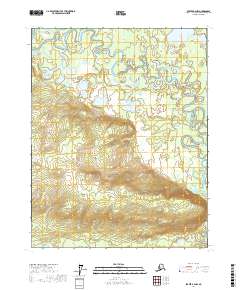
2017 · Beaver B-2 NW
USGS Topo · 1:25,000
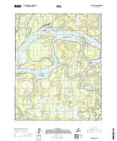
2017 · Beaver B-1 SW
USGS Topo · 1:25,000