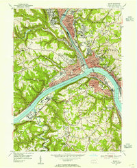
1953 Map of Beaver
USGS Topo · Published 1955About this map
The confluence of the Beaver River and the Ohio River forms the industrial and social heart of this 1950s Pennsylvania landscape. Extensive rail infrastructure, including the Pennsylvania railroad and the massive Conway Yard near Conway and Freedom, underscores the region's historical importance as a transportation hub. Densely settled boroughs like Beaver, New Brighton, and Rochester are clearly defined by their street grids, public squares, and numerous educational institutions like Beaver High Sch and Ft McIntosh Jr High Sch.
Find a feature on this map
101 named features on this map. Tap any name to fly to it.
Don’t see what you’re looking for? This feature index may not catch every label — zoom into the map to look around manually.
Map Details
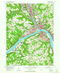
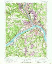
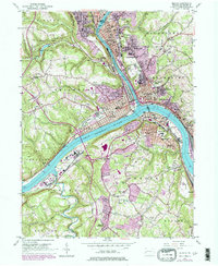
Editions of this 1953 Beaver Map
4 editions found
Other maps of this area

1901 · Beaver
USGS Topo · 1:62,500

1902 · New Castle
USGS Topo · 1:62,500

1904 · Newcastle
USGS Topo · 1:62,500

1904 · Beaver
USGS Topo · 1:62,500

1906 · Sewickley
USGS Topo · 1:62,500

1908 · Sewickley
USGS Topo · 1:62,500

1908 · Zelienople
USGS Topo · 1:62,500

1910 · Zelienople
USGS Topo · 1:62,500

1951 · Canton
USGS Topo · 1:250,000

1953 · Canton
USGS Topo · 1:250,000