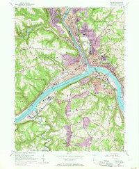
1953 Map of Beaver
USGS Topo · Published 1969About this map
The confluence of the Ohio River and the Beaver River dominates this industrial landscape, where steep river bluffs separate established valley settlements from the upland townships. Revisions made in 1969 highlight the post-war expansion of residential areas around Marion Hill and East Rochester, marked in purple against the original 1953 survey. The riverfronts are a dense network of transportation and heavy industry, featuring the massive Conway Yard and numerous rail spurs including the Aliquippa and Southern RR. Local institutional history is well-preserved through labels for the Beaver County Sanitarium and the Beaver County Home and Hospital near Josephtown. Between the major boroughs like Beaver and Monaca, the terrain is punctuated by significant local landmarks such as Richmond Union Chapel and various Brick Kilns, illustrating the region's reliance on both manufacturing and river-borne commerce.
Find a feature on this map
110 named features on this map. Tap any name to fly to it.
Don’t see what you’re looking for? This feature index may not catch every label — zoom into the map to look around manually.
Map Details
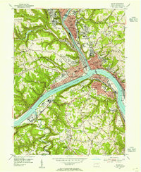
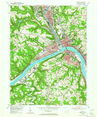
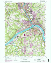
Editions of this 1953 Beaver Map
4 editions found
Other maps of this area

1901 · Beaver
USGS Topo · 1:62,500

1902 · New Castle
USGS Topo · 1:62,500

1904 · Newcastle
USGS Topo · 1:62,500

1904 · Beaver
USGS Topo · 1:62,500

1906 · Sewickley
USGS Topo · 1:62,500

1908 · Sewickley
USGS Topo · 1:62,500

1908 · Zelienople
USGS Topo · 1:62,500

1910 · Zelienople
USGS Topo · 1:62,500

1951 · Canton
USGS Topo · 1:250,000

1953 · Canton
USGS Topo · 1:250,000