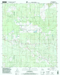
1998 Map of Beaver
USGS Topo · Published 2002About this map
The Allen Parish and Evangeline Parish line divides this landscape of piney woods and drainage systems just east of Oakdale. Conservation and land management define much of the central terrain, including the State Wildlife Mgmt Area and the Mbswma bordering Marsh Bayou. This 1998 survey captures the region's geography through its network of watercourses like Cypress Creek, Beaver Branch, and Earnest Gully, which flow through a topography that remains relatively flat despite the presence of the Beaver Lookout Tower.
Find a feature on this map
18 named features on this map. Tap any name to fly to it.
Don’t see what you’re looking for? This feature index may not catch every label — zoom into the map to look around manually.
Map Details
Editions of this 1998 Beaver Map
2 editions found
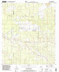
Other maps of this area

1935 · Beaver
USGS Topo · 1:31,680

1935 · Pawnee
USGS Topo · 1:31,680

1935 · Oakdale
USGS Topo · 1:31,680

1935 · Turkey Creek
USGS Topo · 1:62,500

1942 · Oakdale
USGS Topo · 1:62,500

1947 · Foley
USGS Topo · 1:31,680

1947 · Bond
USGS Topo · 1:31,680

1949 · Glenmora
USGS Topo · 1:31,680

1949 · Turkey Creek
USGS Topo · 1:62,500
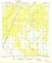
1950 · Foley
USGS Topo · 1:31,680